Appleton City elevation
Appleton City (Missouri, Saint Clair County), United States elevation is 267 meters and Appleton City elevation in feet is 876 ft above sea level [src 1]. Appleton City is a populated place (feature code) with elevation that is 12 meters (39 ft) smaller than average city elevation in United States.
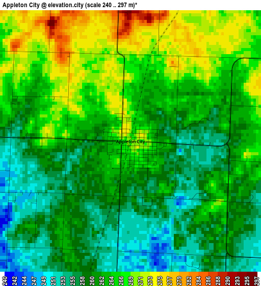
Below is the Elevation map of Appleton City, which displays elevation range with different colors. Scale of the first map is from 240 to 297 m (787 to 974 ft) with average elevation of 262.6 meters (=862 ft) [note 1]
These maps also provides idea of topography and contour of this city, they are displayed at different zoom levels. More info about maps, scale and edge coordinates you can find below images.
| \ | Map #1 | Topo.Map |
| Scale [m] | 240..297 m | × |
| Scale [ft] | 787..974 ft | × |
| Average | 262.6 m = 862 ft | × |
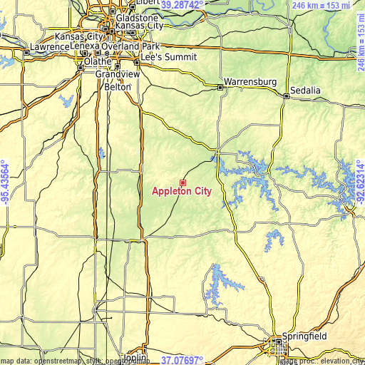
| Width | 7.68 km = 4.8 mi | 245.8 km = 152.7 mi |
| Height | 7.68 km = 4.8 mi | 245.8 km = 152.7 mi |
| ↑Max Latitude | 38.225111° | 39.28742° |
| Latitude at center | 38.19058° | 38.19058° |
| ↓Min Latitude | 38.156033° | 37.07697° |
| ← Min Longitude | -94.073335° | -95.43564° |
| Longitude center | -94.02939° | -94.02939° |
| →Max Longitude | -93.985445° | -92.62314° |
Nearby cities:
Cities around Appleton City sort by population:
• Clinton elevation 247 m
29.5 km,  47°
47°
• Nevada 272 m
48.4 km,  216°
216°
• Butler 269 m
27.4 km,  286°
286°
• El Dorado Springs 261 m
34.9 km,  178°
178°
• Windsor 284 m
58.3 km, 49°
• Holden 263 m
58.3 km,  3°
3°
• Warsaw 223 m
56.9 km,  84°
84°
• Garden City 285 m
43.6 km,  341°
341°
• Adrian 268 m
36.3 km,  309°
309°
• Rich Hill 244 m
30.8 km,  250°
250°
• Archie 257 m
43 km,  318°
318°
• Osceola 234 m
32.6 km,  119°
119°
Multilingual:
 En español:
Appleton City elevación 267 m.
 En France:
Appleton City élévation 267 m.
 Auf Deutsch:
Appleton City höhe über dem Meeresspiegel ist 267 m.

Sources and notes:
- [note 1] Map square and city borders are not equal. Map elevation data is calculated only from area inside that square.
- [src 1] Elevation data from geonames database provided with same terms of usage.
- [src 2] The elevation map of Appleton City is generated using elevation data from NASA's 3 arcsec (90m) resolution SRTM data.
- [src 3] Base (background) map © OpenStreetMap contributors tiles are generated by Geofabrik and OpenTopoMap.
Copyright & License:
This Appleton City Elevation Map is licensed under CC BY-SA. You may reuse any part from this page, if you give a proper credit by linking to this URL:
 More info on terms of use page.