Harrisville elevation
Harrisville (West Virginia, Ritchie County), United States elevation is 262 meters and Harrisville elevation in feet is 860 ft above sea level [src 1]. Harrisville is a seat of a second-order administrative division (feature code) with elevation that is 17 meters (56 ft) smaller than average city elevation in United States.
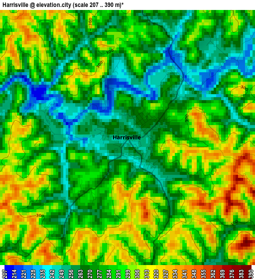
Below is the Elevation map of Harrisville, which displays elevation range with different colors. Scale of the first map is from 207 to 390 m (679 to 1280 ft) with average elevation of 284.9 meters (=935 ft) [note 1]
These maps also provides idea of topography and contour of this city, they are displayed at different zoom levels. More info about maps, scale and edge coordinates you can find below images.
| \ | Map #1 | Topo.Map |
| Scale [m] | 207..390 m | × |
| Scale [ft] | 679..1280 ft | × |
| Average | 284.9 m = 935 ft | × |
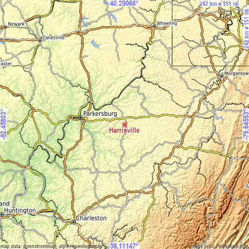
| Width | 7.57 km = 4.7 mi | 242.3 km = 150.6 mi |
| Height | 7.57 km = 4.7 mi | 242.3 km = 150.6 mi |
| ↑Max Latitude | 39.243562° | 40.29066° |
| Latitude at center | 39.20952° | 39.20952° |
| ↓Min Latitude | 39.175461° | 38.11147° |
| ← Min Longitude | -81.095725° | -82.45803° |
| Longitude center | -81.05178° | -81.05178° |
| →Max Longitude | -81.007835° | -79.64553° |
Nearby cities:
Cities around Harrisville sort by population:
• Williamstown elevation 192 m
40.2 km,  301°
301°
• Saint Marys 190 m
24.2 km,  326°
326°
• Glenville 224 m
35.8 km,  148°
148°
• Sistersville 198 m
39.7 km,  6°
6°
• Reno 197 m
34.7 km, 301°
• New Matamoras 193 m
35 km,  357°
357°
• Pennsboro 261 m
11 km,  40°
40°
• Newport 195 m
25.2 km,  323°
323°
• Elizabeth 196 m
33.8 km,  241°
241°
• West Union 240 m
25.6 km,  67°
67°
• Middlebourne 226 m
33.9 km,  22°
22°
• Grantsville 216 m
32 km,  186°
186°
Multilingual:
 En español:
Harrisville elevación 262 m.
 En France:
Harrisville élévation 262 m.
 Auf Deutsch:
Harrisville höhe über dem Meeresspiegel ist 262 m.

Sources and notes:
- [note 1] Map square and city borders are not equal. Map elevation data is calculated only from area inside that square.
- [src 1] Elevation data from geonames database provided with same terms of usage.
- [src 2] The elevation map of Harrisville is generated using elevation data from NASA's 3 arcsec (90m) resolution SRTM data.
- [src 3] Base (background) map © OpenStreetMap contributors tiles are generated by Geofabrik and OpenTopoMap.
Copyright & License:
This Harrisville Elevation Map is licensed under CC BY-SA. You may reuse any part from this page, if you give a proper credit by linking to this URL:
 More info on terms of use page.