Canton elevation
Canton (Texas, Van Zandt County), United States elevation is 158 meters and Canton elevation in feet is 518 ft above sea level [src 1]. Canton is a seat of a second-order administrative division (feature code) with elevation that is 121 meters (397 ft) smaller than average city elevation in United States.
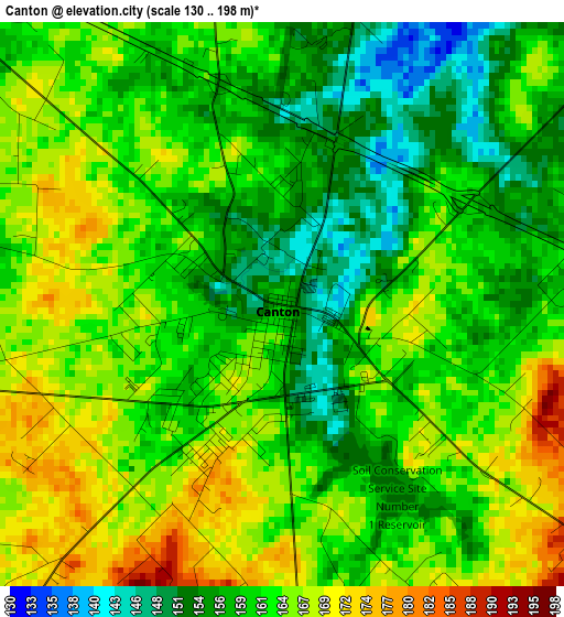
Below is the Elevation map of Canton, which displays elevation range with different colors. Scale of the first map is from 130 to 198 m (427 to 650 ft) with average elevation of 161.6 meters (=530 ft) [note 1]
These maps also provides idea of topography and contour of this city, they are displayed at different zoom levels. More info about maps, scale and edge coordinates you can find below images.

| \ | Map #1 | Map #2 | Topo.Map |
| Scale [m] | 130..198 m | 124..215 m | × |
| Scale [ft] | 427..650 ft | 407..705 ft | × |
| Average | 161.6 m = 530 ft | 160.9 m = 528 ft | × |
| Width | 8.24 km = 5.1 mi | 16.47 km = 10.2 mi | 263.6 km = 163.8 mi |
| Height | 8.24 km = 5.1 mi | 16.47 km = 10.2 mi | 263.6 km = 163.8 mi |
| ↑Max Latitude | 32.593552° | 32.630569° | 33.73392° |
| Latitude at center | 32.55652° | 32.55652° | 32.55652° |
| ↓Min Latitude | 32.519473° | 32.48241° | 31.36347° |
| ← Min Longitude | -95.907245° | -95.951191° | -97.26955° |
| Longitude center | -95.8633° | -95.8633° | -95.8633° |
| →Max Longitude | -95.819355° | -95.775409° | -94.45705° |
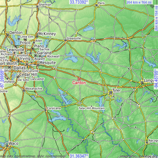
Nearby cities:
Cities around Canton sort by population:
• Athens elevation 152 m
39.1 km,  178°
178°
• Gun Barrel City 117 m
36.6 km,  227°
227°
• Mineola 131 m
37.1 km,  71°
71°
• Wills Point 167 m
21.7 km,  321°
321°
• Mabank 123 m
30.7 km, 226°
• Grand Saline 126 m
19.4 km,  47°
47°
• Hideaway 148 m
38.8 km,  100°
100°
• Van 155 m
21.5 km, 99°
• Edgewood 144 m
15.9 km,  352°
352°
• Kemp 121 m
36.6 km,  249°
249°
• Emory 145 m
36.5 km,  14°
14°
• Brownsboro 122 m
36.7 km,  140°
140°
Multilingual:
 En español:
Canton elevación 158 m.
 En France:
Canton élévation 158 m.


Sources and notes:
- [note 1] Map square and city borders are not equal. Map elevation data is calculated only from area inside that square.
- [src 1] Elevation data from geonames database provided with same terms of usage.
- [src 2] The elevation map of Canton is generated using elevation data from NASA's 3 arcsec (90m) resolution SRTM data.
- [src 3] Base (background) map © OpenStreetMap contributors tiles are generated by Geofabrik and OpenTopoMap.
Copyright & License:
This Canton Elevation Map is licensed under CC BY-SA. You may reuse any part from this page, if you give a proper credit by linking to this URL:
 More info on terms of use page.