London elevation
London (Ohio, Madison County), United States elevation is 321 meters and London elevation in feet is 1053 ft above sea level [src 1]. London is a seat of a second-order administrative division (feature code) with elevation that is 42 meters (138 ft) bigger than average city elevation in United States.
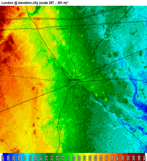
Below is the Elevation map of London, which displays elevation range with different colors. Scale of the first map is from 300 to 343 m (984 to 1125 ft) with average elevation of 318.5 meters (=1045 ft) [note 1]
These maps also provides idea of topography and contour of this city, they are displayed at different zoom levels. More info about maps, scale and edge coordinates you can find below images.

| \ | Map #1 | Map #2 | Topo.Map |
| Scale [m] | 300..343 m | 287..361 m | × |
| Scale [ft] | 984..1125 ft | 942..1184 ft | × |
| Average | 318.5 m = 1045 ft | 319.1 m = 1047 ft | × |
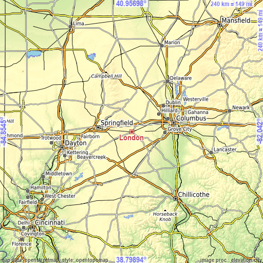
| Width | 7.5 km = 4.7 mi | 15 km = 9.3 mi | 240 km = 149.1 mi |
| Height | 7.5 km = 4.7 mi | 15 km = 9.3 mi | 239.9 km = 149.1 mi |
| ↑Max Latitude | 39.920162° | 39.953857° | 40.95698° |
| Latitude at center | 39.88645° | 39.88645° | 39.88645° |
| ↓Min Latitude | 39.852722° | 39.818977° | 38.79894° |
| ← Min Longitude | -83.492195° | -83.536141° | -84.8545° |
| Longitude center | -83.44825° | -83.44825° | -83.44825° |
| →Max Longitude | -83.404305° | -83.360359° | -82.042° |
Nearby cities:
Cities around London sort by population:
• Hilliard elevation 284 m
29.6 km,  56°
56°
• Lincoln Village 277 m
28.1 km,  74°
74°
• Lake Darby 281 m
20.3 km, 67°
• Plain City 282 m
29 km,  32°
32°
• West Jefferson 279 m
16.6 km, 67°
• Lisbon 345 m
16.2 km,  259°
259°
• Bethel 301 m
18 km,  164°
164°
• Mount Sterling 274 m
24.3 km,  139°
139°
• South Charleston 347 m
17.3 km,  246°
246°
• Mechanicsburg 330 m
22.6 km,  335°
335°
• Choctaw Lake 320 m
8.8 km, 339°
• Jeffersonville 318 m
27.7 km,  200°
200°
Multilingual:
 En español:
London elevación 321 m.
 En France:
London élévation 321 m.


Sources and notes:
- [note 1] Map square and city borders are not equal. Map elevation data is calculated only from area inside that square.
- [src 1] Elevation data from geonames database provided with same terms of usage.
- [src 2] The elevation map of London is generated using elevation data from NASA's 3 arcsec (90m) resolution SRTM data.
- [src 3] Base (background) map © OpenStreetMap contributors tiles are generated by Geofabrik and OpenTopoMap.
Copyright & License:
This London Elevation Map is licensed under CC BY-SA. You may reuse any part from this page, if you give a proper credit by linking to this URL:
 More info on terms of use page.