Dunapataj elevation
Dunapataj (Bács-Kiskun), Hungary elevation is 94 meters and Dunapataj elevation in feet is 308 ft above sea level [src 1]. Dunapataj is a populated place (feature code) with elevation that is 35 meters (115 ft) smaller than average city elevation in Hungary.
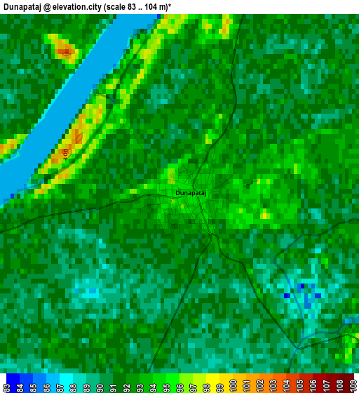
Below is the Elevation map of Dunapataj, which displays elevation range with different colors. Scale of the first map is from 83 to 104 m (272 to 341 ft) with average elevation of 91 meters (=299 ft) [note 1]
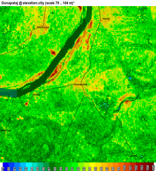
These maps also provides idea of topography and contour of this city, they are displayed at different zoom levels. More info about maps, scale and edge coordinates you can find below images.
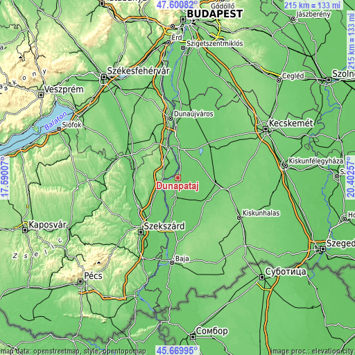
| \ | Map #1 | Map #2 | Topo.Map |
| Scale [m] | 83..104 m | 79..104 m | × |
| Scale [ft] | 272..341 ft | 259..341 ft | × |
| Average | 91 m = 299 ft | 90.6 m = 297 ft | × |
| Width | 6.71 km = 4.2 mi | 13.42 km = 8.3 mi | 214.7 km = 133.4 mi |
| Height | 6.71 km = 4.2 mi | 13.42 km = 8.3 mi | 214.7 km = 133.4 mi |
| ↑Max Latitude | 46.674161° | 46.704306° | 47.60082° |
| Latitude at center | 46.644° | 46.644° | 46.644° |
| ↓Min Latitude | 46.613822° | 46.583627° | 45.66995° |
| ← Min Longitude | 18.952375° | 18.908429° | 17.59007° |
| Longitude center | 18.99632° | 18.99632° | 18.99632° |
| →Max Longitude | 19.040265° | 19.084211° | 20.40257° |
Nearby cities:
Cities around Dunapataj sort by population:
• Paks elevation 71 m
11 km,  257°
257°
• Kalocsa 90 m
12.8 km,  188°
188°
• Dunaföldvár 132 m
18.9 km,  343°
343°
• Solt 87 m
17.5 km,  1°
1°
• Harta 87 m
6.5 km,  24°
24°
• Akasztó 92 m
16.7 km,  71°
71°
• Bölcske 99 m
11 km,  348°
348°
• Dunaszentgyörgy 99 m
18.7 km,  226°
226°
• Csengőd 96 m
22.2 km, 69°
• Bátya 91 m
17.6 km, 190°
• Madocsa 95 m
5.7 km,  329°
329°
• Németkér 148 m
19.5 km,  294°
294°
Multilingual:
 En español:
Dunapataj elevación 94 m.
 En France:
Dunapataj élévation 94 m.
 Auf Deutsch:
Dunapataj höhe über dem Meeresspiegel ist 94 m.

Sources and notes:
- [note 1] Map square and city borders are not equal. Map elevation data is calculated only from area inside that square.
- [src 1] Elevation data from geonames database provided with same terms of usage.
- [src 2] The elevation map of Dunapataj is generated using elevation data from NASA's 3 arcsec (90m) resolution SRTM data.
- [src 3] Base (background) map © OpenStreetMap contributors tiles are generated by Geofabrik and OpenTopoMap.
Copyright & License:
This Dunapataj Elevation Map is licensed under CC BY-SA. You may reuse any part from this page, if you give a proper credit by linking to this URL:
 More info on terms of use page.