Ivinghoe elevation
Ivinghoe (England, Buckinghamshire), United Kingdom elevation is 120 meters and Ivinghoe elevation in feet is 394 ft above sea level [src 1]. Ivinghoe is a populated place (feature code) with elevation that is 48 meters (157 ft) bigger than average city elevation in United Kingdom.
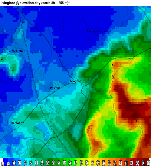
Below is the Elevation map of Ivinghoe, which displays elevation range with different colors. Scale of the first map is from 89 to 255 m (292 to 837 ft) with average elevation of 131.4 meters (=431 ft) [note 1]
These maps also provides idea of topography and contour of this city, they are displayed at different zoom levels. More info about maps, scale and edge coordinates you can find below images.
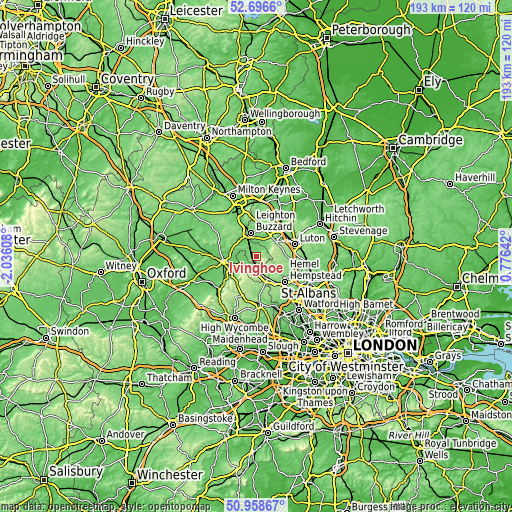
| \ | Map #1 | Topo.Map |
| Scale [m] | 89..255 m | × |
| Scale [ft] | 292..837 ft | × |
| Average | 131.4 m = 431 ft | × |
| Width | 6.04 km = 3.8 mi | 193.2 km = 120 mi |
| Height | 6.04 km = 3.8 mi | 193.2 km = 120 mi |
| ↑Max Latitude | 51.863166° | 52.6966° |
| Latitude at center | 51.83602° | 51.83602° |
| ↓Min Latitude | 51.808857° | 50.95867° |
| ← Min Longitude | -0.673775° | -2.03608° |
| Longitude center | -0.62983° | -0.62983° |
| →Max Longitude | -0.585885° | 0.77642° |
Nearby cities:
Cities around Ivinghoe sort by population:
• Dunstable elevation 150 m
9.2 km,  53°
53°
• Leighton Buzzard 97 m
9.2 km,  347°
347°
• Tring 134 m
5 km,  203°
203°
• Aston Clinton 100 m
7.7 km,  238°
238°
• Eaton Bray 102 m
5.3 km,  29°
29°
• Pitstone 115 m
1.1 km,  218°
218°
• Wing 125 m
9 km,  316°
316°
• Cheddington 107 m
2.7 km,  299°
299°
• Kensworth 188 m
8.8 km,  78°
78°
• Wingrave 131 m
8.4 km,  292°
292°
• Stanbridge 111 m
8.4 km,  15°
15°
• Totternhoe 111 m
6.7 km,  35°
35°
Multilingual:
 En español:
Ivinghoe elevación 120 m.
 En France:
Ivinghoe élévation 120 m.
 Auf Deutsch:
Ivinghoe höhe über dem Meeresspiegel ist 120 m.

Sources and notes:
- [note 1] Map square and city borders are not equal. Map elevation data is calculated only from area inside that square.
- [src 1] Elevation data from geonames database provided with same terms of usage.
- [src 2] The elevation map of Ivinghoe is generated using elevation data from NASA's 3 arcsec (90m) resolution SRTM data.
- [src 3] Base (background) map © OpenStreetMap contributors tiles are generated by Geofabrik and OpenTopoMap.
Copyright & License:
This Ivinghoe Elevation Map is licensed under CC BY-SA. You may reuse any part from this page, if you give a proper credit by linking to this URL:
 More info on terms of use page.