Manston elevation
Manston (England, Dorset), United Kingdom elevation is 51 meters and Manston elevation in feet is 167 ft above sea level [src 1]. Manston is a populated place (feature code) with elevation that is 21 meters (69 ft) smaller than average city elevation in United Kingdom.
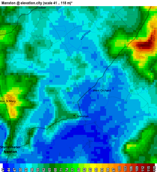
Below is the Elevation map of Manston, which displays elevation range with different colors. Scale of the first map is from 41 to 118 m (135 to 387 ft) with average elevation of 57.8 meters (=190 ft) [note 1]
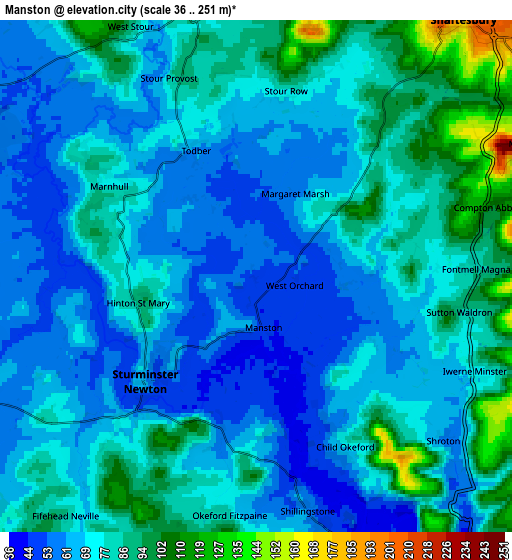
These maps also provides idea of topography and contour of this city, they are displayed at different zoom levels. More info about maps, scale and edge coordinates you can find below images.
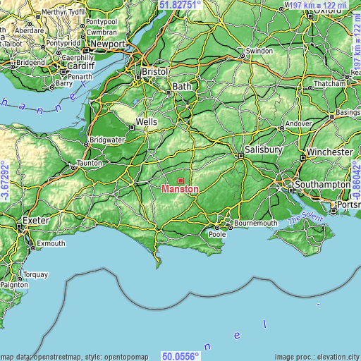
| \ | Map #1 | Map #2 | Topo.Map |
| Scale [m] | 41..118 m | 36..251 m | × |
| Scale [ft] | 135..387 ft | 118..823 ft | × |
| Average | 57.8 m = 190 ft | 74.5 m = 244 ft | × |
| Width | 6.16 km = 3.8 mi | 12.31 km = 7.6 mi | 197 km = 122.4 mi |
| Height | 6.16 km = 3.8 mi | 12.31 km = 7.6 mi | 197 km = 122.4 mi |
| ↑Max Latitude | 50.977677° | 51.005338° | 51.82751° |
| Latitude at center | 50.95° | 50.95° | 50.95° |
| ↓Min Latitude | 50.922306° | 50.894596° | 50.0556° |
| ← Min Longitude | -2.310615° | -2.354561° | -3.67292° |
| Longitude center | -2.26667° | -2.26667° | -2.26667° |
| →Max Longitude | -2.222725° | -2.178779° | -0.86042° |
Nearby cities:
Cities around Manston sort by population:
• Blandford Forum elevation 52 m
12.4 km,  143°
143°
• Gillingham 73 m
9.8 km,  356°
356°
• Shaftesbury 207 m
8 km,  39°
39°
• Sturminster Newton 62 m
3.7 km,  226°
226°
• Stalbridge 76 m
7.7 km,  276°
276°
• Templecombe 92 m
11.8 km,  297°
297°
• Henstridge 79 m
9.5 km,  288°
288°
• Marnhull 69 m
4 km, 304°
• Shillingstone 51 m
6.2 km,  165°
165°
• Child Okeford 74 m
4.5 km,  152°
152°
• Pimperne 60 m
11.7 km,  128°
128°
• Motcombe 87 m
9.5 km,  21°
21°
Multilingual:
 En español:
Manston elevación 51 m.
 En France:
Manston élévation 51 m.


Sources and notes:
- [note 1] Map square and city borders are not equal. Map elevation data is calculated only from area inside that square.
- [src 1] Elevation data from geonames database provided with same terms of usage.
- [src 2] The elevation map of Manston is generated using elevation data from NASA's 3 arcsec (90m) resolution SRTM data.
- [src 3] Base (background) map © OpenStreetMap contributors tiles are generated by Geofabrik and OpenTopoMap.
Copyright & License:
This Manston Elevation Map is licensed under CC BY-SA. You may reuse any part from this page, if you give a proper credit by linking to this URL:
 More info on terms of use page.