Linden elevation
Linden (Michigan, Genesee County), United States elevation is 268 meters and Linden elevation in feet is 879 ft above sea level [src 1]. Linden is a populated place (feature code) with elevation that is 11 meters (36 ft) smaller than average city elevation in United States.
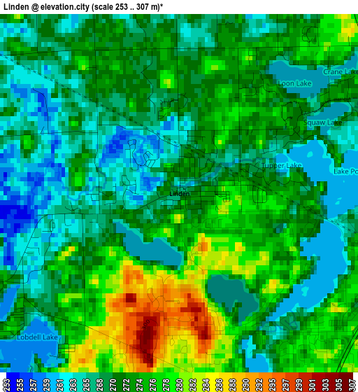
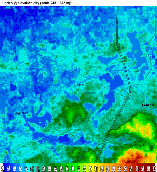
Below is the Elevation map of Linden, which displays elevation range with different colors. Scale of the first map is from 253 to 307 m (830 to 1007 ft) with average elevation of 271.3 meters (=890 ft) [note 1]
These maps also provides idea of topography and contour of this city, they are displayed at different zoom levels. More info about maps, scale and edge coordinates you can find below images.
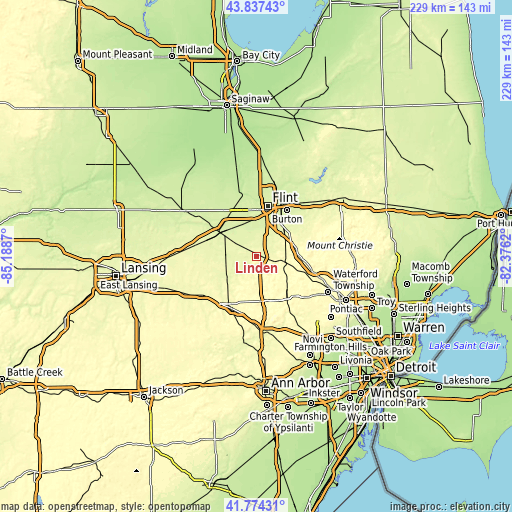
| \ | Map #1 | Map #2 | Topo.Map |
| Scale [m] | 253..307 m | 248..373 m | × |
| Scale [ft] | 830..1007 ft | 814..1224 ft | × |
| Average | 271.3 m = 890 ft | 271.6 m = 891 ft | × |
| Width | 7.17 km = 4.5 mi | 14.34 km = 8.9 mi | 229.4 km = 142.5 mi |
| Height | 7.17 km = 4.5 mi | 14.34 km = 8.9 mi | 229.4 km = 142.5 mi |
| ↑Max Latitude | 42.846698° | 42.878909° | 43.83743° |
| Latitude at center | 42.81447° | 42.81447° | 42.81447° |
| ↓Min Latitude | 42.782225° | 42.749964° | 41.77431° |
| ← Min Longitude | -83.826395° | -83.870341° | -85.1887° |
| Longitude center | -83.78245° | -83.78245° | -83.78245° |
| →Max Longitude | -83.738505° | -83.694559° | -82.3762° |
Nearby cities:
Cities around Linden sort by population:
• Flint elevation 231 m
23.3 km,  19°
19°
• Burton 239 m
24.6 km,  33°
33°
• Fenton 277 m
6.6 km,  106°
106°
• Howell 285 m
26 km,  207°
207°
• Grand Blanc 258 m
17.7 km,  44°
44°
• Holly 284 m
12.9 km,  101°
101°
• Swartz Creek 241 m
16.4 km,  346°
346°
• Lake Fenton 273 m
7 km,  59°
59°
• Durand 242 m
19.7 km,  303°
303°
• Argentine 267 m
5.8 km,  243°
243°
• Goodrich 270 m
25.2 km, 63°
• Ortonville 287 m
28 km,  81°
81°
Multilingual:
 En español:
Linden elevación 268 m.
 En France:
Linden élévation 268 m.


Sources and notes:
- [note 1] Map square and city borders are not equal. Map elevation data is calculated only from area inside that square.
- [src 1] Elevation data from geonames database provided with same terms of usage.
- [src 2] The elevation map of Linden is generated using elevation data from NASA's 3 arcsec (90m) resolution SRTM data.
- [src 3] Base (background) map © OpenStreetMap contributors tiles are generated by Geofabrik and OpenTopoMap.
Copyright & License:
This Linden Elevation Map is licensed under CC BY-SA. You may reuse any part from this page, if you give a proper credit by linking to this URL:
 More info on terms of use page.