Weston elevation
Weston (Missouri, Platte County), United States elevation is 247 meters and Weston elevation in feet is 810 ft above sea level [src 1]. Weston is a populated place (feature code) with elevation that is 32 meters (105 ft) smaller than average city elevation in United States.
Below is the Elevation map of Weston, which displays elevation range with different colors. Scale of the first map is from 229 to 310 m (751 to 1017 ft) with average elevation of 260.2 meters (=854 ft) [note 1]
These maps also provides idea of topography and contour of this city, they are displayed at different zoom levels. More info about maps, scale and edge coordinates you can find below images.

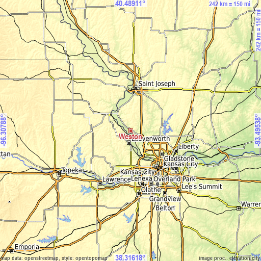
| \ | Map #1 | Topo.Map |
| Scale [m] | 229..310 m | × |
| Scale [ft] | 751..1017 ft | × |
| Average | 260.2 m = 854 ft | × |
| Width | 7.55 km = 4.7 mi | 241.6 km = 150.1 mi |
| Height | 7.55 km = 4.7 mi | 241.6 km = 150.1 mi |
| ↑Max Latitude | 39.445054° | 40.48911° |
| Latitude at center | 39.41111° | 39.41111° |
| ↓Min Latitude | 39.377149° | 38.31618° |
| ← Min Longitude | -94.945575° | -96.30788° |
| Longitude center | -94.90163° | -94.90163° |
| →Max Longitude | -94.857685° | -93.49538° |
Nearby cities:
Cities around Weston sort by population:
• Leavenworth elevation 258 m
11.3 km,  189°
189°
• Gladstone 292 m
37.7 km,  127°
127°
• Lansing 263 m
18.1 km,  179°
179°
• Atchison 253 m
25.3 km,  311°
311°
• Smithville 251 m
27.7 km,  95°
95°
• Parkville 258 m
30.6 km,  141°
141°
• Basehor 304 m
30.1 km, 186°
• Tonganoxie 275 m
37.1 km,  205°
205°
• Platte City 250 m
11.2 km,  113°
113°
• Riverside 236 m
35.9 km, 136°
• Weatherby Lake 280 m
26.2 km, 137°
• Gower 292 m
34.1 km,  49°
49°
Multilingual:
 En español:
Weston elevación 247 m.
 En France:
Weston élévation 247 m.


Sources and notes:
- [note 1] Map square and city borders are not equal. Map elevation data is calculated only from area inside that square.
- [src 1] Elevation data from geonames database provided with same terms of usage.
- [src 2] The elevation map of Weston is generated using elevation data from NASA's 3 arcsec (90m) resolution SRTM data.
- [src 3] Base (background) map © OpenStreetMap contributors tiles are generated by Geofabrik and OpenTopoMap.
Copyright & License:
This Weston Elevation Map is licensed under CC BY-SA. You may reuse any part from this page, if you give a proper credit by linking to this URL:
 More info on terms of use page.