Calinog elevation
Calinog (Western Visayas, Province of Iloilo), Philippines elevation is 51 meters and Calinog elevation in feet is 167 ft above sea level [src 1]. Calinog is a seat of a third-order administrative division (feature code) with elevation that is 37 meters (121 ft) smaller than average city elevation in Philippines.
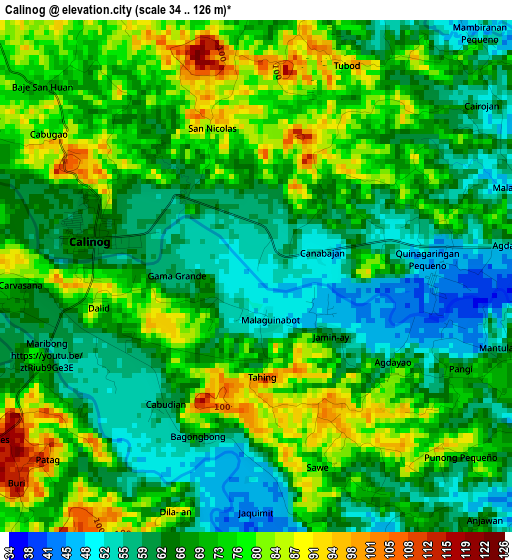
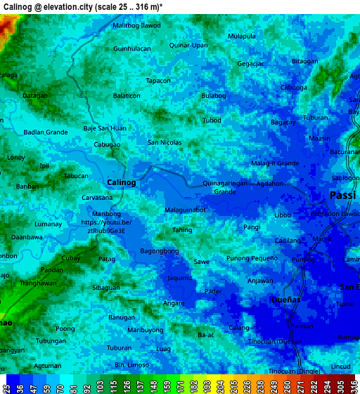
Below is the Elevation map of Calinog, which displays elevation range with different colors. Scale of the first map is from 34 to 126 m (112 to 413 ft) with average elevation of 69.1 meters (=227 ft) [note 1]
These maps also provides idea of topography and contour of this city, they are displayed at different zoom levels. More info about maps, scale and edge coordinates you can find below images.
| \ | Map #1 | Map #2 | Topo.Map |
| Scale [m] | 34..126 m | 25..316 m | × |
| Scale [ft] | 112..413 ft | 82..1037 ft | × |
| Average | 69.1 m = 227 ft | 72.4 m = 238 ft | × |
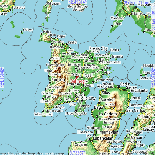
| Width | 9.59 km = 6 mi | 19.18 km = 11.9 mi | 306.8 km = 190.6 mi |
| Height | 9.59 km = 6 mi | 19.18 km = 11.9 mi | 306.9 km = 190.7 mi |
| ↑Max Latitude | 11.159788° | 11.202899° | 12.49314° |
| Latitude at center | 11.11667° | 11.11667° | 11.11667° |
| ↓Min Latitude | 11.073546° | 11.030416° | 9.73367° |
| ← Min Longitude | 122.522725° | 122.478779° | 121.16042° |
| Longitude center | 122.56667° | 122.56667° | 122.56667° |
| →Max Longitude | 122.610615° | 122.654561° | 123.97292° |
Nearby cities:
Cities around Calinog sort by population:
• Passi elevation 42 m
8.3 km,  96°
96°
• Lambunao 177 m
12 km,  235°
235°
• Dueñas 51 m
7.7 km,  136°
136°
• Maribong 56 m
4.1 km, 242°
• Aglalana 64 m
12.2 km,  54°
54°
• Alibunan 114 m
12.2 km,  285°
285°
• Binabaan 81 m
11.9 km,  204°
204°
• San Enrique 38 m
11 km,  117°
117°
• Ponong 37 m
7.5 km, 120°
• Quinagaringan 52 m
2.4 km,  74°
74°
• San Miguel 75 m
11.2 km,  346°
346°
• Badlan 72 m
5.8 km,  298°
298°
Multilingual:
 En español:
Calinog elevación 51 m.
 En France:
Calinog élévation 51 m.


Sources and notes:
- [note 1] Map square and city borders are not equal. Map elevation data is calculated only from area inside that square.
- [src 1] Elevation data from geonames database provided with same terms of usage.
- [src 2] The elevation map of Calinog is generated using elevation data from NASA's 3 arcsec (90m) resolution SRTM data.
- [src 3] Base (background) map © OpenStreetMap contributors tiles are generated by Geofabrik and OpenTopoMap.
Copyright & License:
This Calinog Elevation Map is licensed under CC BY-SA. You may reuse any part from this page, if you give a proper credit by linking to this URL:
 More info on terms of use page.