Palmoli elevation
Palmoli (Abruzzo, Provincia di Chieti), Italy elevation is 703 meters and Palmoli elevation in feet is 2306 ft above sea level [src 1]. Palmoli is a seat of a third-order administrative division (feature code) with elevation that is 381 meters (1250 ft) bigger than average city elevation in Italy.
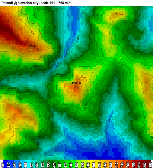
Below is the Elevation map of Palmoli, which displays elevation range with different colors. Scale of the first map is from 191 to 868 m (627 to 2848 ft) with average elevation of 454 meters (=1490 ft) [note 1]
These maps also provides idea of topography and contour of this city, they are displayed at different zoom levels. More info about maps, scale and edge coordinates you can find below images.
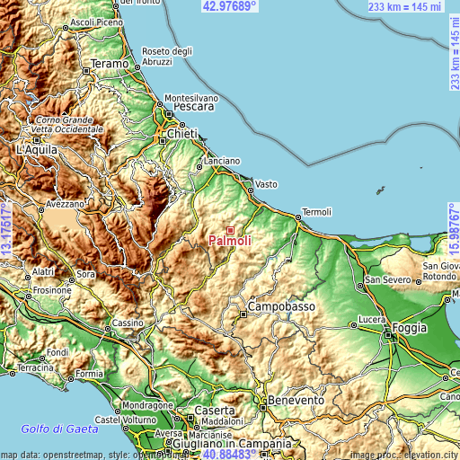
| \ | Map #1 | Topo.Map |
| Scale [m] | 191..868 m | × |
| Scale [ft] | 627..2848 ft | × |
| Average | 454 m = 1490 ft | × |
| Width | 7.27 km = 4.5 mi | 232.6 km = 144.5 mi |
| Height | 7.27 km = 4.5 mi | 232.6 km = 144.5 mi |
| ↑Max Latitude | 41.97212° | 42.97689° |
| Latitude at center | 41.93944° | 41.93944° |
| ↓Min Latitude | 41.906743° | 40.88483° |
| ← Min Longitude | 14.537475° | 13.17517° |
| Longitude center | 14.58142° | 14.58142° |
| →Max Longitude | 14.625365° | 15.98767° |
Nearby cities:
Cities around Palmoli sort by population:
• Celenza sul Trigno elevation 603 m
7.5 km,  181°
181°
• Furci 552 m
7.6 km,  4°
4°
• San Buono 461 m
4.8 km,  346°
346°
• Fresagrandinaria 387 m
8 km,  56°
56°
• Roccaspinalveti-Santa Giusta 675 m
9.1 km,  272°
272°
• Liscia 743 m
2.8 km,  309°
309°
• Torrebruna 846 m
8.7 km,  202°
202°
• Carunchio 624 m
5.1 km,  241°
241°
• Tufillo 556 m
4.4 km,  124°
124°
• Montemitro 483 m
7.9 km,  136°
136°
• Fraine 723 m
8.6 km, 244°
• Dogliola 446 m
4.4 km,  85°
85°
Multilingual:
 En español:
Palmoli elevación 703 m.
 En France:
Palmoli élévation 703 m.


Sources and notes:
- [note 1] Map square and city borders are not equal. Map elevation data is calculated only from area inside that square.
- [src 1] Elevation data from geonames database provided with same terms of usage.
- [src 2] The elevation map of Palmoli is generated using elevation data from NASA's 3 arcsec (90m) resolution SRTM data.
- [src 3] Base (background) map © OpenStreetMap contributors tiles are generated by Geofabrik and OpenTopoMap.
Copyright & License:
This Palmoli Elevation Map is licensed under CC BY-SA. You may reuse any part from this page, if you give a proper credit by linking to this URL:
 More info on terms of use page.