Sutton Benger elevation
Sutton Benger (England, Wiltshire), United Kingdom elevation is 58 meters and Sutton Benger elevation in feet is 190 ft above sea level [src 1]. Sutton Benger is a populated place (feature code) with elevation that is 14 meters (46 ft) smaller than average city elevation in United Kingdom.
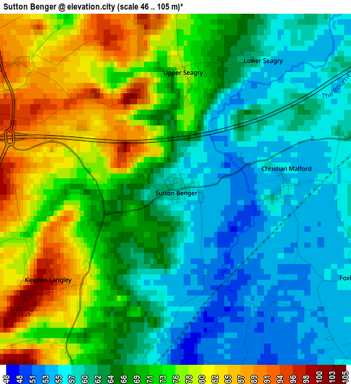
Below is the Elevation map of Sutton Benger, which displays elevation range with different colors. Scale of the first map is from 46 to 105 m (151 to 344 ft) with average elevation of 67.8 meters (=222 ft) [note 1]
These maps also provides idea of topography and contour of this city, they are displayed at different zoom levels. More info about maps, scale and edge coordinates you can find below images.
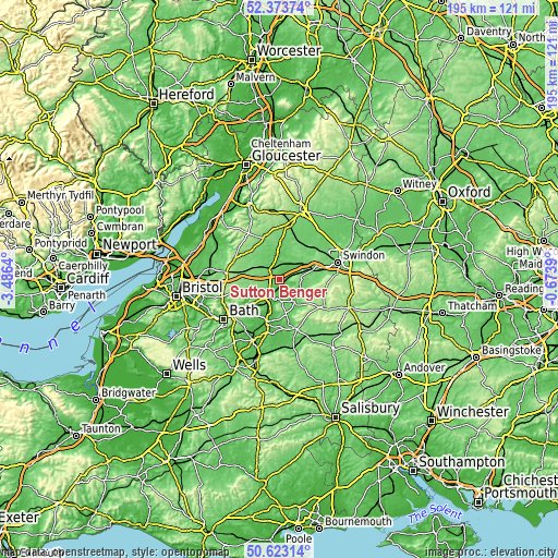
| \ | Map #1 | Topo.Map |
| Scale [m] | 46..105 m | × |
| Scale [ft] | 151..344 ft | × |
| Average | 67.8 m = 222 ft | × |
| Width | 6.08 km = 3.8 mi | 194.6 km = 120.9 mi |
| Height | 6.08 km = 3.8 mi | 194.6 km = 120.9 mi |
| ↑Max Latitude | 51.534194° | 52.37374° |
| Latitude at center | 51.50685° | 51.50685° |
| ↓Min Latitude | 51.479489° | 50.62314° |
| ← Min Longitude | -2.124095° | -3.4864° |
| Longitude center | -2.08015° | -2.08015° |
| →Max Longitude | -2.036205° | -0.6739° |
Nearby cities:
Cities around Sutton Benger sort by population:
• Chippenham elevation 61 m
6.1 km,  210°
210°
• Calne 77 m
9.2 km,  145°
145°
• Corsham 96 m
10.8 km,  221°
221°
• Malmesbury 82 m
8.4 km,  351°
351°
• Lyneham 120 m
7.9 km,  82°
82°
• Sherston 116 m
11.7 km,  308°
308°
• Biddestone 120 m
9.7 km,  237°
237°
• Lacock 48 m
10.6 km,  195°
195°
• Hankerton 93 m
12.2 km,  11°
11°
• Charlton 92 m
10.4 km, 9°
• Norton 97 m
8.3 km, 314°
• Bremhill 101 m
6.6 km, 148°
Multilingual:
 En español:
Sutton Benger elevación 58 m.
 En France:
Sutton Benger élévation 58 m.
 Auf Deutsch:
Sutton Benger höhe über dem Meeresspiegel ist 58 m.

Sources and notes:
- [note 1] Map square and city borders are not equal. Map elevation data is calculated only from area inside that square.
- [src 1] Elevation data from geonames database provided with same terms of usage.
- [src 2] The elevation map of Sutton Benger is generated using elevation data from NASA's 3 arcsec (90m) resolution SRTM data.
- [src 3] Base (background) map © OpenStreetMap contributors tiles are generated by Geofabrik and OpenTopoMap.
Copyright & License:
This Sutton Benger Elevation Map is licensed under CC BY-SA. You may reuse any part from this page, if you give a proper credit by linking to this URL:
 More info on terms of use page.