Insingen elevation
Insingen (Bavaria, Regierungsbezirk Mittelfranken), Germany elevation is 388 meters and Insingen elevation in feet is 1273 ft above sea level [src 1]. Insingen is a seat of a fourth-order administrative division (feature code) with elevation that is 130 meters (427 ft) bigger than average city elevation in Germany.
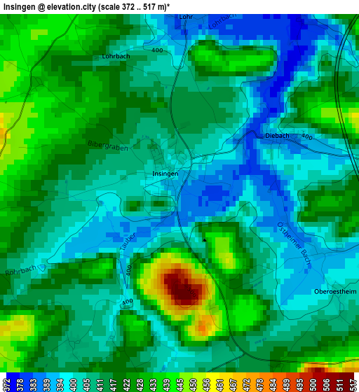
Below is the Elevation map of Insingen, which displays elevation range with different colors. Scale of the first map is from 372 to 517 m (1220 to 1696 ft) with average elevation of 413.8 meters (=1358 ft) [note 1]
These maps also provides idea of topography and contour of this city, they are displayed at different zoom levels. More info about maps, scale and edge coordinates you can find below images.
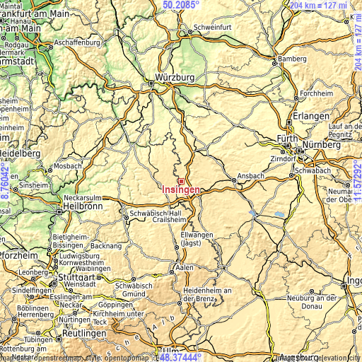
| \ | Map #1 | Topo.Map |
| Scale [m] | 372..517 m | × |
| Scale [ft] | 1220..1696 ft | × |
| Average | 413.8 m = 1358 ft | × |
| Width | 6.37 km = 4 mi | 203.9 km = 126.7 mi |
| Height | 6.37 km = 4 mi | 203.9 km = 126.7 mi |
| ↑Max Latitude | 49.328648° | 50.2085° |
| Latitude at center | 49.3° | 49.3° |
| ↓Min Latitude | 49.271335° | 48.37444° |
| ← Min Longitude | 10.122725° | 8.76042° |
| Longitude center | 10.16667° | 10.16667° |
| →Max Longitude | 10.210615° | 11.57292° |
Nearby cities:
Cities around Insingen sort by population:
• Rothenburg ob der Tauber elevation 434 m
8.9 km,  9°
9°
• Blaufelden 462 m
14 km,  268°
268°
• Rot am See 422 m
12.2 km,  242°
242°
• Wallhausen 438 m
12.5 km,  217°
217°
• Schnelldorf 468 m
11.2 km,  173°
173°
• Schillingsfürst 515 m
7.1 km,  101°
101°
• Neusitz 414 m
9.1 km,  28°
28°
• Gebsattel 369 m
6.1 km,  23°
23°
• Dombühl 473 m
10 km,  120°
120°
• Geslau 443 m
13.1 km,  55°
55°
• Steinsfeld 394 m
13.5 km, 15°
• Diebach 395 m
2.1 km, 60°
Multilingual:
 En español:
Insingen elevación 388 m.
 En France:
Insingen élévation 388 m.
 Auf Deutsch:
Insingen höhe über dem Meeresspiegel ist 388 m.

Sources and notes:
- [note 1] Map square and city borders are not equal. Map elevation data is calculated only from area inside that square.
- [src 1] Elevation data from geonames database provided with same terms of usage.
- [src 2] The elevation map of Insingen is generated using elevation data from NASA's 3 arcsec (90m) resolution SRTM data.
- [src 3] Base (background) map © OpenStreetMap contributors tiles are generated by Geofabrik and OpenTopoMap.
Copyright & License:
This Insingen Elevation Map is licensed under CC BY-SA. You may reuse any part from this page, if you give a proper credit by linking to this URL:
 More info on terms of use page.