Horní Bludovice elevation
Horní Bludovice (Moravskoslezský, Okres Karviná), Czech Republic elevation is 259 meters and Horní Bludovice elevation in feet is 850 ft above sea level [src 1]. Horní Bludovice is a populated place (feature code) with elevation that is 86 meters (282 ft) smaller than average city elevation in Czech Republic.
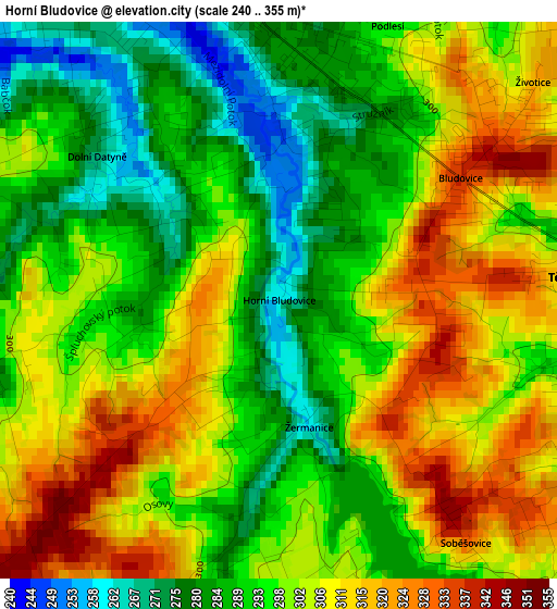
Below is the Elevation map of Horní Bludovice, which displays elevation range with different colors. Scale of the first map is from 240 to 355 m (787 to 1165 ft) with average elevation of 298.8 meters (=980 ft) [note 1]
These maps also provides idea of topography and contour of this city, they are displayed at different zoom levels. More info about maps, scale and edge coordinates you can find below images.
| \ | Map #1 | Topo.Map |
| Scale [m] | 240..355 m | × |
| Scale [ft] | 787..1165 ft | × |
| Average | 298.8 m = 980 ft | × |
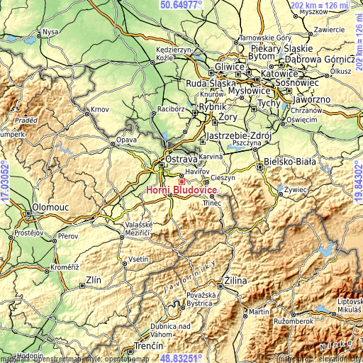
| Width | 6.31 km = 3.9 mi | 202.1 km = 125.6 mi |
| Height | 6.31 km = 3.9 mi | 202 km = 125.5 mi |
| ↑Max Latitude | 49.778036° | 50.64977° |
| Latitude at center | 49.74965° | 49.74965° |
| ↓Min Latitude | 49.721247° | 48.83251° |
| ← Min Longitude | 18.392825° | 17.03052° |
| Longitude center | 18.43677° | 18.43677° |
| →Max Longitude | 18.480715° | 19.84302° |
Nearby cities:
Cities around Horní Bludovice sort by population:
• Havířov elevation 278 m
3.4 km,  0°
0°
• Vratimov 246 m
9.4 km,  283°
283°
• Šenov 275 m
6.5 km,  317°
317°
• Horní Suchá 277 m
6.3 km,  31°
31°
• Horní Těrlicko 312 m
3.3 km,  85°
85°
• Albrechtice 256 m
7.5 km,  56°
56°
• Dobrá 331 m
8.6 km,  191°
191°
• Řepiště 313 m
8.8 km,  258°
258°
• Václavovice 262 m
4.7 km, 277°
• Sedliště 332 m
6 km,  234°
234°
• Lučina 303 m
3.3 km,  166°
166°
• Chotěbuz 348 m
9.7 km,  77°
77°
Multilingual:
 En español:
Horní Bludovice elevación 259 m.
 En France:
Horní Bludovice élévation 259 m.
 Auf Deutsch:
Horní Bludovice höhe über dem Meeresspiegel ist 259 m.

Sources and notes:
- [note 1] Map square and city borders are not equal. Map elevation data is calculated only from area inside that square.
- [src 1] Elevation data from geonames database provided with same terms of usage.
- [src 2] The elevation map of Horní Bludovice is generated using elevation data from NASA's 3 arcsec (90m) resolution SRTM data.
- [src 3] Base (background) map © OpenStreetMap contributors tiles are generated by Geofabrik and OpenTopoMap.
Copyright & License:
This Horní Bludovice Elevation Map is licensed under CC BY-SA. You may reuse any part from this page, if you give a proper credit by linking to this URL:
 More info on terms of use page.