Nanma elevation
Nanma (Shandong), China elevation is 283 meters and Nanma elevation in feet is 928 ft above sea level [src 1]. Nanma is a seat of a third-order administrative division (feature code) with elevation that is 275 meters (902 ft) smaller than average city elevation in China.
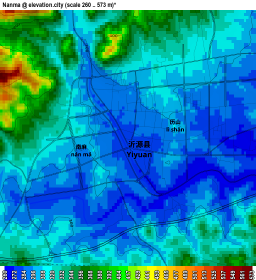
Below is the Elevation map of Nanma, which displays elevation range with different colors. Scale of the first map is from 260 to 573 m (853 to 1880 ft) with average elevation of 315.9 meters (=1036 ft) [note 1]
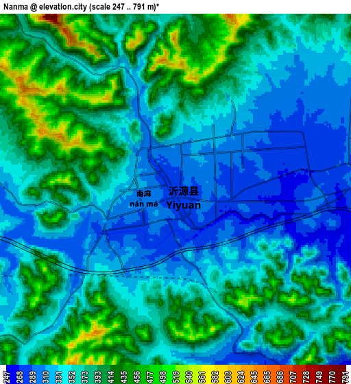
These maps also provides idea of topography and contour of this city, they are displayed at different zoom levels. More info about maps, scale and edge coordinates you can find below images.
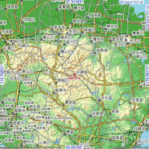
| \ | Map #1 | Map #2 | Topo.Map |
| Scale [m] | 260..573 m | 247..791 m | × |
| Scale [ft] | 853..1880 ft | 810..2595 ft | × |
| Average | 315.9 m = 1036 ft | 368.2 m = 1208 ft | × |
| Width | 7.89 km = 4.9 mi | 15.78 km = 9.8 mi | 252.4 km = 156.8 mi |
| Height | 7.89 km = 4.9 mi | 15.78 km = 9.8 mi | 252.4 km = 156.8 mi |
| ↑Max Latitude | 36.220241° | 36.255686° | 37.31153° |
| Latitude at center | 36.18478° | 36.18478° | 36.18478° |
| ↓Min Latitude | 36.149303° | 36.11381° | 35.04158° |
| ← Min Longitude | 118.110915° | 118.066969° | 116.74861° |
| Longitude center | 118.15486° | 118.15486° | 118.15486° |
| →Max Longitude | 118.198805° | 118.242751° | 119.56111° |
Nearby cities:
Cities around Nanma sort by population:
• Zibo elevation 51 m
67.9 km,  353°
353°
• Xintai 197 m
48.1 km,  228°
228°
• Boshan 368 m
43.9 km,  319°
319°
• Laiwu 182 m
44.7 km,  271°
271°
• Qingzhou 98 m
63.9 km,  27°
27°
• Yishui 156 m
61.6 km,  136°
136°
• Nanding 64 m
63.3 km, 351°
• Xindian 73 m
69.3 km,  10°
10°
• Linqu 97 m
50.4 km,  43°
43°
• Dongdu 200 m
55.3 km, 227°
• Mengyin 182 m
57 km,  201°
201°
• Dongping 398 m
37.7 km,  337°
337°
Multilingual:
 En español:
Nanma elevación 283 m.
 En France:
Nanma élévation 283 m.


Sources and notes:
- [note 1] Map square and city borders are not equal. Map elevation data is calculated only from area inside that square.
- [src 1] Elevation data from geonames database provided with same terms of usage.
- [src 2] The elevation map of Nanma is generated using elevation data from NASA's 3 arcsec (90m) resolution SRTM data.
- [src 3] Base (background) map © OpenStreetMap contributors tiles are generated by Geofabrik and OpenTopoMap.
Copyright & License:
This Nanma Elevation Map is licensed under CC BY-SA. You may reuse any part from this page, if you give a proper credit by linking to this URL:
 More info on terms of use page.