Mayotte elevation
On our site we have elevation data and maps for 17 cities from Mayotte including Mamoudzou as capital of the country.
Mayotte on topographic map
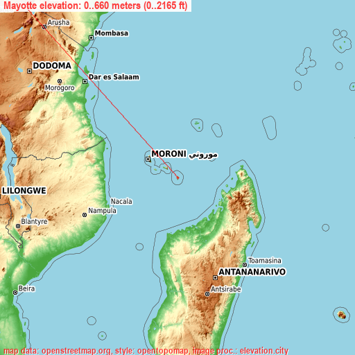
Mayotte elevation extremes
Land surface elevation extremes in Mayotte:
- Highest point in Mayotte: Benara on Mahoré with 660 meters (=2165 ft)
- Lowest point: Mozambique Channel with 0 meters (=0 ft)
- Elevation span: 660 m (=2165 ft)
Statistics
- Average elevation of cities: 44 m (= 144 ft), and this is 352 m (1155 ft) below average city elevation worldwide..[1]
- Area: 374 km² (= 144 sq mi)
- Population: 159,042
Mayotte has no neighboring country
List of cities in ABC order:
Search by letter:
A B C D K M O P S T
A:
Acoua
B:
Bandraboua Bandrélé Bouéni
C:
Chiconi Chirongui
D:
Dembeni Dzaoudzi
K:
Kani Kéli Koungou
M:
M'Tsangamouji Mamoudzou Mtsamboro
O:
Ouangani
P:
Pamandzi
S:
Sada
T:
Tsingoni
2 most populated cities are in red/bold font style.

A:
Acoua
B:
Bandraboua Bandrélé Bouéni
C:
Chiconi Chirongui
D:
Dembeni Dzaoudzi
K:
Kani Kéli Koungou
M:
M'Tsangamouji Mamoudzou Mtsamboro
O:
Ouangani
P:
Pamandzi
S:
Sada
T:
Tsingoni
Sources
- Elevation extremes by country from wikipedia.
- Base map data: © OpenStreetMap contributors, | map style: © OpenTopoMap (CC-BY-SA)
- [1] Calculated only from 17 cities in our database
- Other city data from geonames.org with taken over terms of usage.
- Min/max latitude and longitude coordinates per country from latitudelongitude.org website.