Waynesville elevation
Waynesville (Ohio, Warren County), United States elevation is 229 meters and Waynesville elevation in feet is 751 ft above sea level [src 1]. Waynesville is a populated place (feature code) with elevation that is 50 meters (164 ft) smaller than average city elevation in United States.
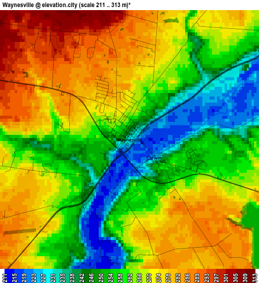
Below is the Elevation map of Waynesville, which displays elevation range with different colors. Scale of the first map is from 211 to 313 m (692 to 1027 ft) with average elevation of 264.4 meters (=867 ft) [note 1]
These maps also provides idea of topography and contour of this city, they are displayed at different zoom levels. More info about maps, scale and edge coordinates you can find below images.
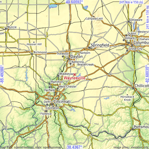
| \ | Map #1 | Topo.Map |
| Scale [m] | 211..313 m | × |
| Scale [ft] | 692..1027 ft | × |
| Average | 264.4 m = 867 ft | × |
| Width | 7.54 km = 4.7 mi | 241.2 km = 149.9 mi |
| Height | 7.54 km = 4.7 mi | 241.2 km = 149.9 mi |
| ↑Max Latitude | 39.563666° | 40.60592° |
| Latitude at center | 39.52978° | 39.52978° |
| ↓Min Latitude | 39.495877° | 38.4367° |
| ← Min Longitude | -84.130545° | -85.49285° |
| Longitude center | -84.0866° | -84.0866° |
| →Max Longitude | -84.042655° | -82.68035° |
Nearby cities:
Cities around Waynesville sort by population:
• Kettering elevation 307 m
19.1 km,  338°
338°
• Beavercreek 267 m
20.1 km,  5°
5°
• Centerville 309 m
12.6 km,  330°
330°
• Lebanon 237 m
14.5 km,  223°
223°
• Springboro 239 m
12.8 km,  281°
281°
• Franklin 208 m
18.9 km, 279°
• Bellbrook 241 m
11.8 km, 6°
• Carlisle 211 m
20.9 km,  286°
286°
• South Lebanon 191 m
20.7 km,  211°
211°
• Hunter 270 m
17.9 km,  256°
256°
• Five Points 302 m
10.1 km,  295°
295°
• Morrow 197 m
19.8 km,  190°
190°
Multilingual:
 En español:
Waynesville elevación 229 m.
 En France:
Waynesville élévation 229 m.
 Auf Deutsch:
Waynesville höhe über dem Meeresspiegel ist 229 m.

Sources and notes:
- [note 1] Map square and city borders are not equal. Map elevation data is calculated only from area inside that square.
- [src 1] Elevation data from geonames database provided with same terms of usage.
- [src 2] The elevation map of Waynesville is generated using elevation data from NASA's 3 arcsec (90m) resolution SRTM data.
- [src 3] Base (background) map © OpenStreetMap contributors tiles are generated by Geofabrik and OpenTopoMap.
Copyright & License:
This Waynesville Elevation Map is licensed under CC BY-SA. You may reuse any part from this page, if you give a proper credit by linking to this URL:
 More info on terms of use page.