Sypniewo elevation
Sypniewo (Greater Poland, Powiat złotowski), Poland elevation is 136 meters and Sypniewo elevation in feet is 446 ft above sea level [src 1]. Sypniewo is a populated place (feature code) with elevation that is 55 meters (180 ft) smaller than average city elevation in Poland.
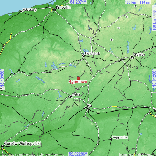
Below is the Elevation map of Sypniewo, which displays elevation range with different colors. Scale of the first map is from 125 to 176 m (410 to 577 ft) with average elevation of 139.5 meters (=458 ft) [note 1]
These maps also provides idea of topography and contour of this city, they are displayed at different zoom levels. More info about maps, scale and edge coordinates you can find below images.

| \ | Map #1 | Topo.Map |
| Scale [m] | 125..176 m | × |
| Scale [ft] | 410..577 ft | × |
| Average | 139.5 m = 458 ft | × |
| Width | 5.82 km = 3.6 mi | 186.2 km = 115.7 mi |
| Height | 5.82 km = 3.6 mi | 186.1 km = 115.6 mi |
| ↑Max Latitude | 53.494381° | 54.2971° |
| Latitude at center | 53.46823° | 53.46823° |
| ↓Min Latitude | 53.442063° | 52.62286° |
| ← Min Longitude | 16.561885° | 15.19958° |
| Longitude center | 16.60583° | 16.60583° |
| →Max Longitude | 16.649775° | 18.01208° |
Nearby cities:
Cities around Sypniewo sort by population:
• Szczecinek elevation 139 m
27.4 km,  13°
13°
• Wałcz 112 m
23 km,  202°
202°
• Złotów 114 m
31.1 km,  112°
112°
• Jastrowie 97 m
15 km, 110°
• Czaplinek 145 m
26.6 km,  292°
292°
• Czarne 128 m
32.5 km,  42°
42°
• Borne Sulinowo 142 m
13 km,  338°
338°
• Okonek 127 m
17.9 km,  65°
65°
• Krajenka 103 m
31.8 km,  126°
126°
• Wierzchowo 136 m
33.5 km,  268°
268°
• Tarnówka 121 m
21.6 km, 130°
• Łubowo 148 m
19.3 km,  312°
312°
Multilingual:
 En español:
Sypniewo elevación 136 m.
 En France:
Sypniewo élévation 136 m.
 Auf Deutsch:
Sypniewo höhe über dem Meeresspiegel ist 136 m.

Sources and notes:
- [note 1] Map square and city borders are not equal. Map elevation data is calculated only from area inside that square.
- [src 1] Elevation data from geonames database provided with same terms of usage.
- [src 2] The elevation map of Sypniewo is generated using elevation data from NASA's 3 arcsec (90m) resolution SRTM data.
- [src 3] Base (background) map © OpenStreetMap contributors tiles are generated by Geofabrik and OpenTopoMap.
Copyright & License:
This Sypniewo Elevation Map is licensed under CC BY-SA. You may reuse any part from this page, if you give a proper credit by linking to this URL:
 More info on terms of use page.