Wudil elevation
Wudil (Kano), Nigeria elevation is 419 meters and Wudil elevation in feet is 1375 ft above sea level [src 1]. Wudil is a seat of a second-order administrative division (feature code) with elevation that is 122 meters (400 ft) bigger than average city elevation in Nigeria.
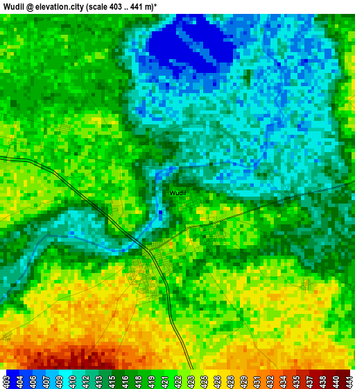
Below is the Elevation map of Wudil, which displays elevation range with different colors. Scale of the first map is from 403 to 441 m (1322 to 1447 ft) with average elevation of 417.8 meters (=1371 ft) [note 1]
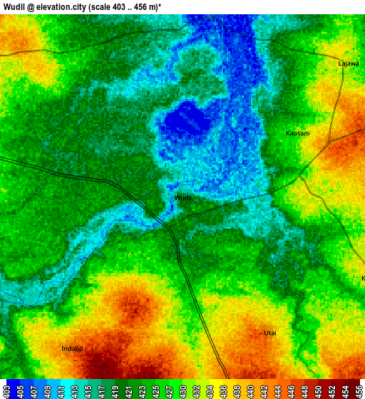
These maps also provides idea of topography and contour of this city, they are displayed at different zoom levels. More info about maps, scale and edge coordinates you can find below images.
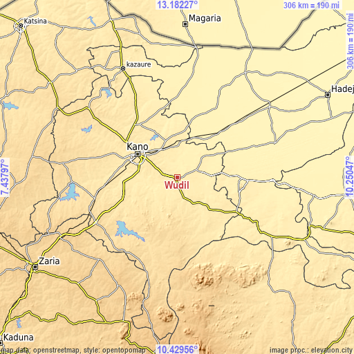
| \ | Map #1 | Map #2 | Topo.Map |
| Scale [m] | 403..441 m | 403..456 m | × |
| Scale [ft] | 1322..1447 ft | 1322..1496 ft | × |
| Average | 417.8 m = 1371 ft | 425.1 m = 1395 ft | × |
| Width | 9.57 km = 5.9 mi | 19.13 km = 11.9 mi | 306.1 km = 190.2 mi |
| Height | 9.57 km = 5.9 mi | 19.13 km = 11.9 mi | 306.1 km = 190.2 mi |
| ↑Max Latitude | 11.852382° | 11.895387° | 13.18227° |
| Latitude at center | 11.80937° | 11.80937° | 11.80937° |
| ↓Min Latitude | 11.766351° | 11.723326° | 10.42956° |
| ← Min Longitude | 8.800275° | 8.756329° | 7.43797° |
| Longitude center | 8.84422° | 8.84422° | 8.84422° |
| →Max Longitude | 8.888165° | 8.932111° | 10.25047° |
Nearby cities:
Cities around Wudil sort by population:
• Gaya elevation 437 m
18.2 km,  71°
71°
• Kibiya 504 m
37.1 km,  212°
212°
• Kumbotso 455 m
38.2 km,  283°
283°
• Albasu 443 m
35.6 km,  115°
115°
• Bunkure 474 m
35.2 km,  249°
249°
• Gezawa 443 m
34.1 km,  342°
342°
• Sumaila 484 m
33.3 km,  158°
158°
• Zakirai 420 m
32.7 km,  7°
7°
• Ajingi 430 m
27.4 km,  49°
49°
• Dawakin Kudu 451 m
27.1 km, 276°
• Garko 470 m
18.3 km,  194°
194°
• Warawa 451 m
16.8 km,  292°
292°
Multilingual:
 En español:
Wudil elevación 419 m.
 En France:
Wudil élévation 419 m.


Sources and notes:
- [note 1] Map square and city borders are not equal. Map elevation data is calculated only from area inside that square.
- [src 1] Elevation data from geonames database provided with same terms of usage.
- [src 2] The elevation map of Wudil is generated using elevation data from NASA's 3 arcsec (90m) resolution SRTM data.
- [src 3] Base (background) map © OpenStreetMap contributors tiles are generated by Geofabrik and OpenTopoMap.
Copyright & License:
This Wudil Elevation Map is licensed under CC BY-SA. You may reuse any part from this page, if you give a proper credit by linking to this URL:
 More info on terms of use page.