Taceno elevation
Taceno (Lombardy, Provincia di Lecco), Italy elevation is 476 meters and Taceno elevation in feet is 1562 ft above sea level [src 1]. Taceno is a seat of a third-order administrative division (feature code) with elevation that is 154 meters (505 ft) bigger than average city elevation in Italy.
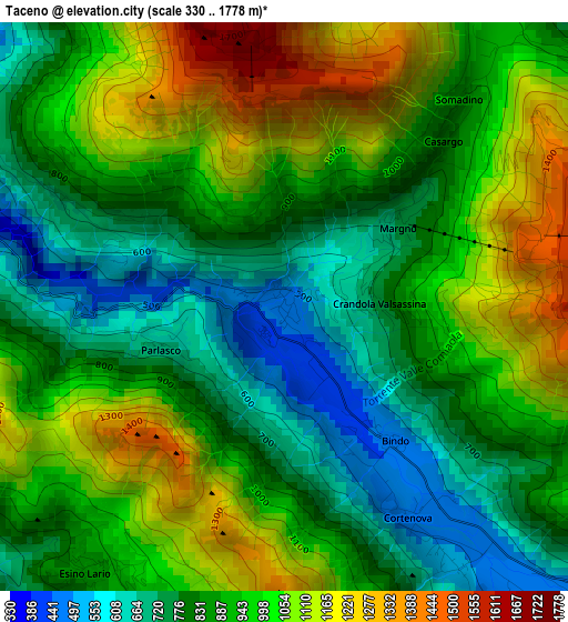
Below is the Elevation map of Taceno, which displays elevation range with different colors. Scale of the first map is from 330 to 1778 m (1083 to 5833 ft) with average elevation of 922.2 meters (=3026 ft) [note 1]
These maps also provides idea of topography and contour of this city, they are displayed at different zoom levels. More info about maps, scale and edge coordinates you can find below images.
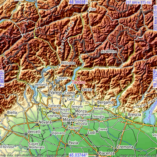
| \ | Map #1 | Topo.Map |
| Scale [m] | 330..1778 m | × |
| Scale [ft] | 1083..5833 ft | × |
| Average | 922.2 m = 3026 ft | × |
| Width | 6.79 km = 4.2 mi | 217.1 km = 134.9 mi |
| Height | 6.79 km = 4.2 mi | 217.1 km = 134.9 mi |
| ↑Max Latitude | 46.053036° | 46.99038° |
| Latitude at center | 46.02253° | 46.02253° |
| ↓Min Latitude | 45.992007° | 45.03744° |
| ← Min Longitude | 9.320055° | 7.95775° |
| Longitude center | 9.364° | 9.364° |
| →Max Longitude | 9.407945° | 10.77025° |
Nearby cities:
Cities around Taceno sort by population:
• Bellano elevation 274 m
5 km,  298°
298°
• Premana 955 m
5.5 km,  53°
53°
• Cortenova 470 m
2.9 km,  147°
147°
• Esino Lario 867 m
3.9 km,  216°
216°
• Casargo 813 m
2.6 km,  43°
43°
• Perledo 433 m
5.3 km,  261°
261°
• Pagnona 851 m
5.1 km, 35°
• Margno 738 m
1.7 km,  55°
55°
• Crandola Valsassina 790 m
1.2 km,  85°
85°
• Tremenico 755 m
5.9 km,  1°
1°
• Vendrogno 726 m
3 km, 296°
• Parlasco 692 m
1.6 km,  250°
250°
Multilingual:
 En español:
Taceno elevación 476 m.
 En France:
Taceno élévation 476 m.


Sources and notes:
- [note 1] Map square and city borders are not equal. Map elevation data is calculated only from area inside that square.
- [src 1] Elevation data from geonames database provided with same terms of usage.
- [src 2] The elevation map of Taceno is generated using elevation data from NASA's 3 arcsec (90m) resolution SRTM data.
- [src 3] Base (background) map © OpenStreetMap contributors tiles are generated by Geofabrik and OpenTopoMap.
Copyright & License:
This Taceno Elevation Map is licensed under CC BY-SA. You may reuse any part from this page, if you give a proper credit by linking to this URL:
 More info on terms of use page.