Valprato Soana elevation
Valprato Soana (Piedmont, Torino), Italy elevation is 1104 meters and Valprato Soana elevation in feet is 3622 ft above sea level [src 1]. Valprato Soana is a seat of a third-order administrative division (feature code) with elevation that is 782 meters (2566 ft) bigger than average city elevation in Italy.
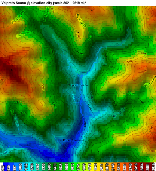
Below is the Elevation map of Valprato Soana, which displays elevation range with different colors. Scale of the first map is from 862 to 2619 m (2828 to 8593 ft) with average elevation of 1623.7 meters (=5327 ft) [note 1]
These maps also provides idea of topography and contour of this city, they are displayed at different zoom levels. More info about maps, scale and edge coordinates you can find below images.
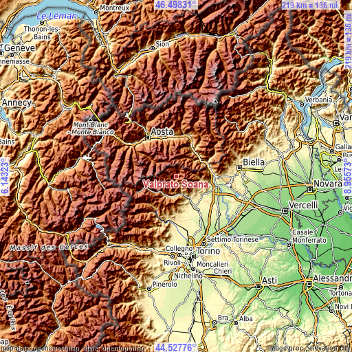
| \ | Map #1 | Topo.Map |
| Scale [m] | 862..2619 m | × |
| Scale [ft] | 2828..8593 ft | × |
| Average | 1623.7 m = 5327 ft | × |
| Width | 6.85 km = 4.3 mi | 219.1 km = 136.1 mi |
| Height | 6.85 km = 4.3 mi | 219.1 km = 136.1 mi |
| ↑Max Latitude | 45.552441° | 46.49831° |
| Latitude at center | 45.52166° | 45.52166° |
| ↓Min Latitude | 45.490862° | 44.52776° |
| ← Min Longitude | 7.505535° | 6.14323° |
| Longitude center | 7.54948° | 7.54948° |
| →Max Longitude | 7.593425° | 8.95573° |
Nearby cities:
Cities around Valprato Soana sort by population:
• Pont-Canavese elevation 457 m
11.8 km,  160°
160°
• Sparone 541 m
11.9 km,  181°
181°
• Locana 629 m
14 km,  211°
211°
• Champorcher 1419 m
12.7 km,  26°
26°
• Alpette 959 m
12.7 km,  169°
169°
• Ronco Canavese 980 m
2.3 km, 184°
• Frassinetto 1081 m
10.4 km,  153°
153°
• Castelnuovo Nigra 830 m
14.6 km,  129°
129°
• Pont-Bozet 793 m
14.3 km,  48°
48°
• Chiesanuova 661 m
14.2 km,  144°
144°
• Ribordone 1026 m
10.6 km,  200°
200°
• Ingria 833 m
6.4 km, 164°
Multilingual:
 En español:
Valprato Soana elevación 1104 m.
 En France:
Valprato Soana élévation 1104 m.
 Auf Deutsch:
Valprato Soana höhe über dem Meeresspiegel ist 1104 m.

Sources and notes:
- [note 1] Map square and city borders are not equal. Map elevation data is calculated only from area inside that square.
- [src 1] Elevation data from geonames database provided with same terms of usage.
- [src 2] The elevation map of Valprato Soana is generated using elevation data from NASA's 3 arcsec (90m) resolution SRTM data.
- [src 3] Base (background) map © OpenStreetMap contributors tiles are generated by Geofabrik and OpenTopoMap.
Copyright & License:
This Valprato Soana Elevation Map is licensed under CC BY-SA. You may reuse any part from this page, if you give a proper credit by linking to this URL:
 More info on terms of use page.