Lidlington elevation
Lidlington (England, Central Bedfordshire), United Kingdom elevation is 63 meters and Lidlington elevation in feet is 207 ft above sea level [src 1]. Lidlington is a seat of a third-order administrative division (feature code) with elevation that is 9 meters (30 ft) smaller than average city elevation in United Kingdom.
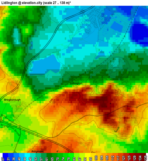
Below is the Elevation map of Lidlington, which displays elevation range with different colors. Scale of the first map is from 27 to 138 m (89 to 453 ft) with average elevation of 75.6 meters (=248 ft) [note 1]
These maps also provides idea of topography and contour of this city, they are displayed at different zoom levels. More info about maps, scale and edge coordinates you can find below images.
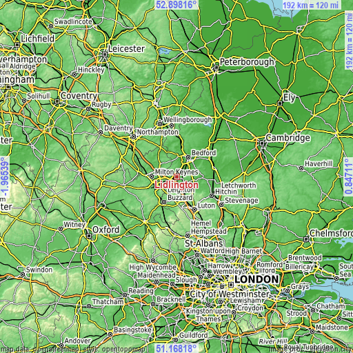
| \ | Map #1 | Topo.Map |
| Scale [m] | 27..138 m | × |
| Scale [ft] | 89..453 ft | × |
| Average | 75.6 m = 248 ft | × |
| Width | 6.01 km = 3.7 mi | 192.4 km = 119.6 mi |
| Height | 6.01 km = 3.7 mi | 192.3 km = 119.5 mi |
| ↑Max Latitude | 52.068562° | 52.89816° |
| Latitude at center | 52.04154° | 52.04154° |
| ↓Min Latitude | 52.014502° | 51.16818° |
| ← Min Longitude | -0.603085° | -1.96539° |
| Longitude center | -0.55914° | -0.55914° |
| →Max Longitude | -0.515195° | 0.84711° |
Nearby cities:
Cities around Lidlington sort by population:
• Ampthill elevation 95 m
4.6 km,  110°
110°
• Flitwick 78 m
6.1 km,  133°
133°
• Cranfield 112 m
4.5 km,  311°
311°
• Marston Moretaine 44 m
2.6 km,  14°
14°
• Houghton Conquest 52 m
6 km,  68°
68°
• Stewartby 42 m
4.4 km,  43°
43°
• Eversholt 105 m
6.1 km,  180°
180°
• Ridgmont 122 m
3.2 km,  204°
204°
• Husborne Crawley 100 m
4.5 km,  231°
231°
• Millbrook 82 m
2.4 km,  97°
97°
• Aspley Guise 116 m
6 km,  236°
236°
• Steppingley 105 m
4.3 km,  151°
151°
Multilingual:
 En español:
Lidlington elevación 63 m.
 En France:
Lidlington élévation 63 m.
 Auf Deutsch:
Lidlington höhe über dem Meeresspiegel ist 63 m.

Sources and notes:
- [note 1] Map square and city borders are not equal. Map elevation data is calculated only from area inside that square.
- [src 1] Elevation data from geonames database provided with same terms of usage.
- [src 2] The elevation map of Lidlington is generated using elevation data from NASA's 3 arcsec (90m) resolution SRTM data.
- [src 3] Base (background) map © OpenStreetMap contributors tiles are generated by Geofabrik and OpenTopoMap.
Copyright & License:
This Lidlington Elevation Map is licensed under CC BY-SA. You may reuse any part from this page, if you give a proper credit by linking to this URL:
 More info on terms of use page.