Simpson elevation
Simpson (England, Milton Keynes), United Kingdom elevation is 77 meters and Simpson elevation in feet is 253 ft above sea level [src 1]. Simpson is a seat of a third-order administrative division (feature code) with elevation that is 5 meters (16 ft) bigger than average city elevation in United Kingdom.
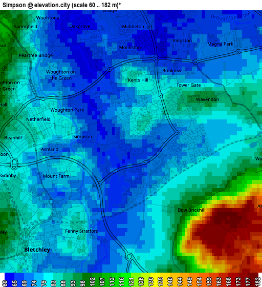
Below is the Elevation map of Simpson, which displays elevation range with different colors. Scale of the first map is from 60 to 182 m (197 to 597 ft) with average elevation of 84.2 meters (=276 ft) [note 1]
These maps also provides idea of topography and contour of this city, they are displayed at different zoom levels. More info about maps, scale and edge coordinates you can find below images.
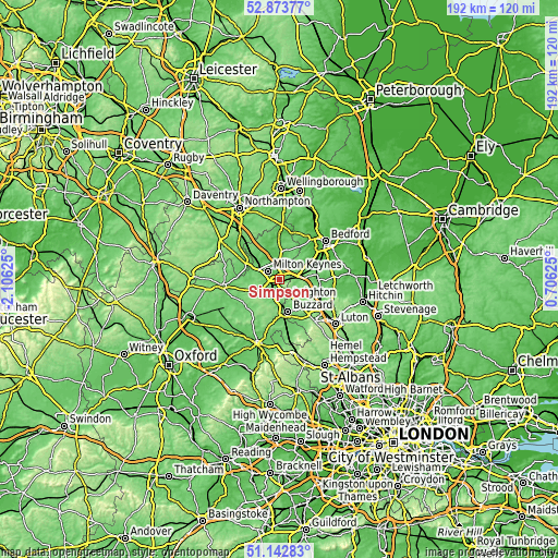
| \ | Map #1 | Topo.Map |
| Scale [m] | 60..182 m | × |
| Scale [ft] | 197..597 ft | × |
| Average | 84.2 m = 276 ft | × |
| Width | 6.01 km = 3.7 mi | 192.5 km = 119.6 mi |
| Height | 6.01 km = 3.7 mi | 192.4 km = 119.6 mi |
| ↑Max Latitude | 52.043707° | 52.87377° |
| Latitude at center | 52.01667° | 52.01667° |
| ↓Min Latitude | 51.989616° | 51.14283° |
| ← Min Longitude | -0.743945° | -2.10625° |
| Longitude center | -0.7° | -0.7° |
| →Max Longitude | -0.656055° | 0.70625° |
Nearby cities:
Cities around Simpson sort by population:
• Milton Keynes elevation 114 m
4.7 km,  306°
306°
• Bletchley 82 m
3.5 km,  222°
222°
• Water Eaton 83 m
3.6 km,  204°
204°
• Woburn Sands 90 m
3.4 km,  91°
91°
• Bow Brickhill 102 m
2 km,  139°
139°
• Husborne Crawley 100 m
6.1 km, 90°
• Shenley Church End 92 m
6.2 km,  278°
278°
• Loughton 78 m
6.1 km, 284°
• Moulsoe 81 m
6.1 km,  17°
17°
• Aspley Guise 116 m
4.6 km,  96°
96°
• Broughton 66 m
3.8 km,  6°
6°
• Wavendon 93 m
2 km,  61°
61°
Multilingual:
 En español:
Simpson elevación 77 m.
 En France:
Simpson élévation 77 m.


Sources and notes:
- [note 1] Map square and city borders are not equal. Map elevation data is calculated only from area inside that square.
- [src 1] Elevation data from geonames database provided with same terms of usage.
- [src 2] The elevation map of Simpson is generated using elevation data from NASA's 3 arcsec (90m) resolution SRTM data.
- [src 3] Base (background) map © OpenStreetMap contributors tiles are generated by Geofabrik and OpenTopoMap.
Copyright & License:
This Simpson Elevation Map is licensed under CC BY-SA. You may reuse any part from this page, if you give a proper credit by linking to this URL:
 More info on terms of use page.