Thalfang elevation
Thalfang (Rheinland-Pfalz), Germany elevation is 416 meters and Thalfang elevation in feet is 1365 ft above sea level [src 1]. Thalfang is a seat of a fourth-order administrative division (feature code) with elevation that is 158 meters (518 ft) bigger than average city elevation in Germany.
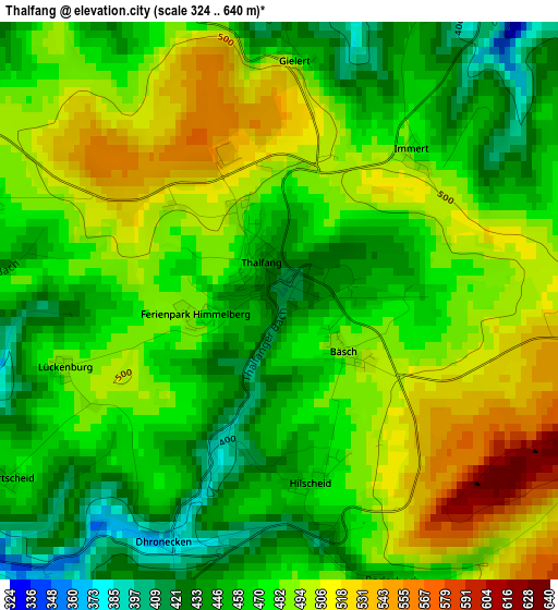
Below is the Elevation map of Thalfang, which displays elevation range with different colors. Scale of the first map is from 324 to 640 m (1063 to 2100 ft) with average elevation of 477.1 meters (=1565 ft) [note 1]
These maps also provides idea of topography and contour of this city, they are displayed at different zoom levels. More info about maps, scale and edge coordinates you can find below images.
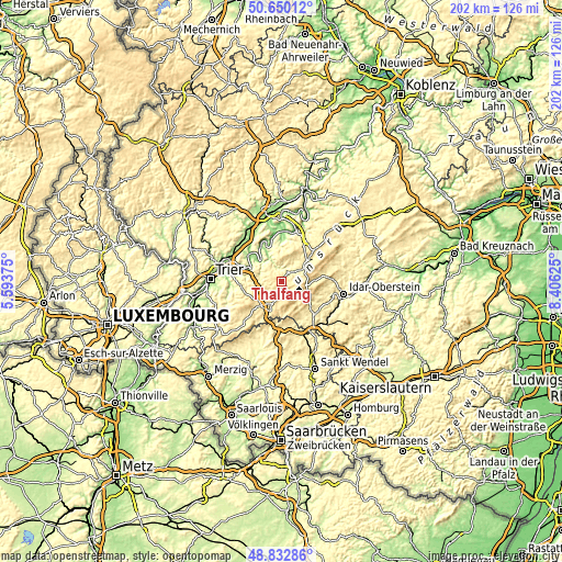
| \ | Map #1 | Topo.Map |
| Scale [m] | 324..640 m | × |
| Scale [ft] | 1063..2100 ft | × |
| Average | 477.1 m = 1565 ft | × |
| Width | 6.31 km = 3.9 mi | 202.1 km = 125.6 mi |
| Height | 6.31 km = 3.9 mi | 202 km = 125.5 mi |
| ↑Max Latitude | 49.778386° | 50.65012° |
| Latitude at center | 49.75° | 49.75° |
| ↓Min Latitude | 49.721598° | 48.83286° |
| ← Min Longitude | 6.956055° | 5.59375° |
| Longitude center | 7° | 7° |
| →Max Longitude | 7.043945° | 8.40625° |
Nearby cities:
Cities around Thalfang sort by population:
• Morbach elevation 474 m
11.2 km,  54°
54°
• Hermeskeil 526 m
11.3 km,  200°
200°
• Neumagen-Dhron 137 m
13.8 km,  327°
327°
• Reinsfeld 503 m
11.2 km,  228°
228°
• Mehring 154 m
13.2 km,  294°
294°
• Leiwen 141 m
11.2 km,  311°
311°
• Malborn 477 m
3.9 km, 197°
• Brücken 391 m
15.5 km,  147°
147°
• Gusenburg 490 m
14.8 km,  209°
209°
• Trittenheim 130 m
11 km,  318°
318°
• Klüsserath 156 m
15 km, 314°
• Thomm 464 m
14 km,  266°
266°
Multilingual:
 En español:
Thalfang elevación 416 m.
 En France:
Thalfang élévation 416 m.
 Auf Deutsch:
Thalfang höhe über dem Meeresspiegel ist 416 m.

Sources and notes:
- [note 1] Map square and city borders are not equal. Map elevation data is calculated only from area inside that square.
- [src 1] Elevation data from geonames database provided with same terms of usage.
- [src 2] The elevation map of Thalfang is generated using elevation data from NASA's 3 arcsec (90m) resolution SRTM data.
- [src 3] Base (background) map © OpenStreetMap contributors tiles are generated by Geofabrik and OpenTopoMap.
Copyright & License:
This Thalfang Elevation Map is licensed under CC BY-SA. You may reuse any part from this page, if you give a proper credit by linking to this URL:
 More info on terms of use page.