Saint Vincent and the Grenadines elevation
On our site we have elevation data and maps for 9 cities from Saint Vincent and the Grenadines including Kingstown as capital of the country.
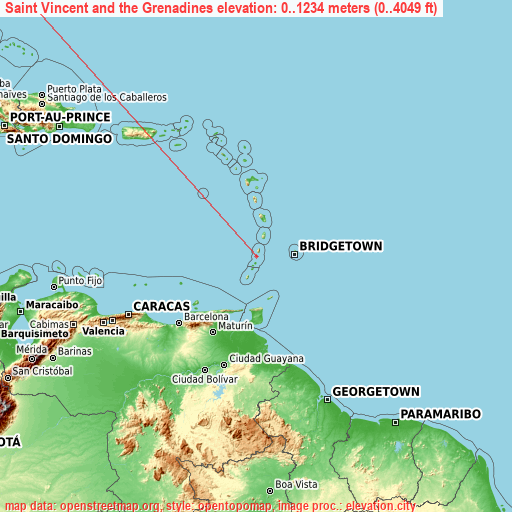
Saint Vincent and the Grenadines on topographic map
Saint Vincent and the Grenadines elevation extremes
Land surface elevation extremes in Saint Vincent and the Grenadines:
- Highest point in Saint Vincent and the Grenadines: La Soufrière with 1234 meters (=4049 ft)
- Lowest point: Caribbean Sea with 0 meters (=0 ft)
- Elevation span: 1234 m (=4049 ft)
Statistics
- Average elevation of cities: 14 m (= 46 ft), and this is 382 m (1253 ft) below average city elevation worldwide..[1]
- Area: 389 km² (= 150 sq mi)
- Population: 104,217
Saint Vincent and the Grenadines has no neighboring country
List of cities in ABC order:
Search by letter:
B C G K L P
B:
Barrouallie Biabou Byera Village
C:
Chateaubelair
G:
Georgetown
K:
Kingstown Kingstown Park
L:
Layou
P:
Port Elizabeth
1 most populated cities are in red/bold font style.

B:
Barrouallie Biabou Byera Village
C:
Chateaubelair
G:
Georgetown
K:
Kingstown Kingstown Park
L:
Layou
P:
Port Elizabeth
Sources
- Elevation extremes by country from wikipedia.
- Base map data: © OpenStreetMap contributors, | map style: © OpenTopoMap (CC-BY-SA)
- [1] Calculated only from 9 cities in our database
- Other city data from geonames.org with taken over terms of usage.
- Min/max latitude and longitude coordinates per country from latitudelongitude.org website.