French Southern Territories elevation
On our site we have elevation data and maps for 1 city from French Southern Territories including Port-aux-Francais as capital of the country.
French Southern Territories on topographic map
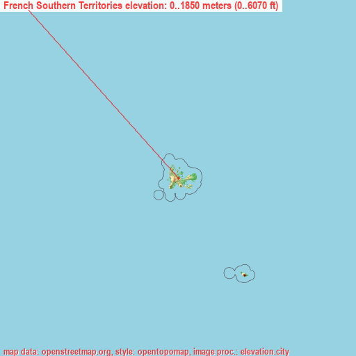
French Southern Territories elevation extremes
Land surface elevation extremes in French Southern Territories:
- Highest point in French Southern Territories: Mont Ross on Kerguelen Islands with 1850 meters (=6070 ft)
- Lowest point: Indian Ocean with 0 meters (=0 ft)
- Elevation span: 1850 m (=6070 ft)
Statistics
- Average elevation of cities: 5 m (= 16 ft), and this is 391 m (1283 ft) below average city elevation worldwide..[1]
- Area: 7,829 km² (= 3,023 sq mi)
- Population: 140
French Southern Territories has no neighboring country
List of cities in ABC order:
Search by letter:

Sources
- Elevation extremes by country from wikipedia.
- Base map data: © OpenStreetMap contributors, | map style: © OpenTopoMap (CC-BY-SA)
- [1] Calculated only from 1 cities in our database
- Other city data from geonames.org with taken over terms of usage.
- Min/max latitude and longitude coordinates per country from latitudelongitude.org website.