Weert elevation
Weert (Limburg, Gemeente Weert), Netherlands elevation is 38 meters and Weert elevation in feet is 125 ft above sea level [src 1]. Weert is a populated place (feature code) with elevation that is 23 meters (75 ft) bigger than average city elevation in Netherlands.
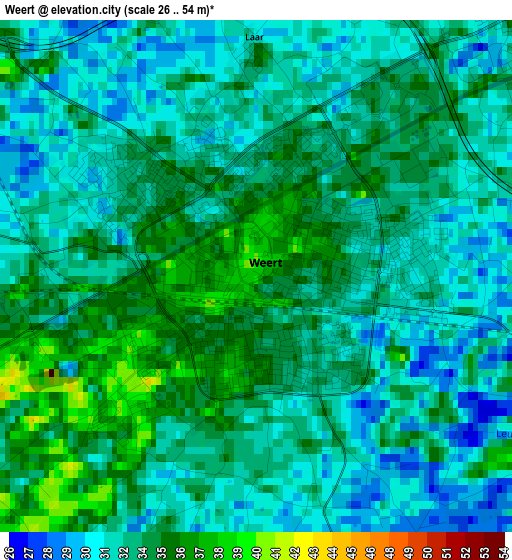
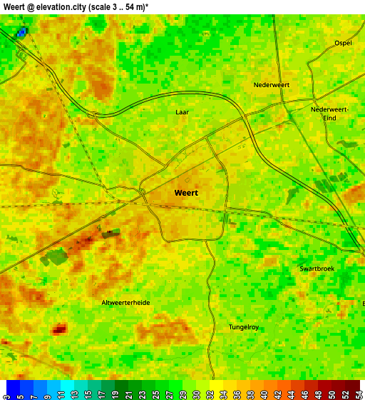
Below is the Elevation map of Weert, which displays elevation range with different colors. Scale of the first map is from 26 to 54 m (85 to 177 ft) with average elevation of 33 meters (=108 ft) [note 1]
These maps also provides idea of topography and contour of this city, they are displayed at different zoom levels. More info about maps, scale and edge coordinates you can find below images.
| \ | Map #1 | Map #2 | Topo.Map |
| Scale [m] | 26..54 m | 3..54 m | × |
| Scale [ft] | 85..177 ft | 10..177 ft | × |
| Average | 33 m = 108 ft | 32.4 m = 106 ft | × |
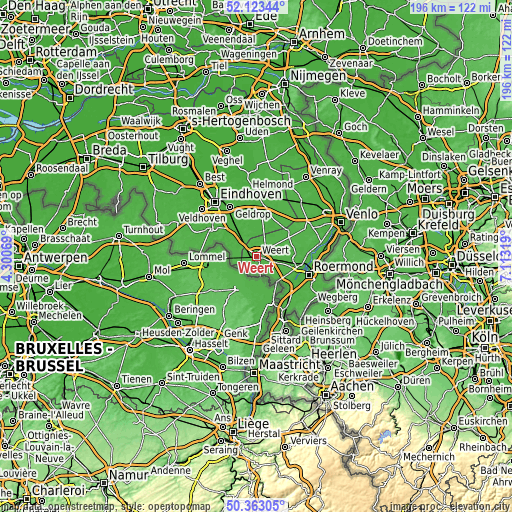
| Width | 6.12 km = 3.8 mi | 12.23 km = 7.6 mi | 195.7 km = 121.6 mi |
| Height | 6.12 km = 3.8 mi | 12.23 km = 7.6 mi | 195.7 km = 121.6 mi |
| ↑Max Latitude | 51.279167° | 51.306648° | 52.12344° |
| Latitude at center | 51.25167° | 51.25167° | 51.25167° |
| ↓Min Latitude | 51.224156° | 51.196626° | 50.36305° |
| ← Min Longitude | 5.662995° | 5.619049° | 4.30069° |
| Longitude center | 5.70694° | 5.70694° | 5.70694° |
| →Max Longitude | 5.750885° | 5.794831° | 7.11319° |
Nearby cities:
Cities around Weert sort by population:
• Budel elevation 32 m
9.4 km,  283°
283°
• Nederweert 36 m
4.8 km,  37°
37°
• Maarheeze 30 m
9.2 km,  316°
316°
• Stramproy 34 m
6.5 km,  172°
172°
• Keent 36 m
1.1 km,  202°
202°
• Leuken 32 m
1.9 km,  86°
86°
• Moesel 33 m
1.7 km,  153°
153°
• Ospel 33 m
7.4 km,  46°
46°
• Budel-Schoot 35 m
9.9 km,  267°
267°
• Budschop 34 m
5.2 km, 44°
• Budel-Dorplein 35 m
8.5 km,  258°
258°
• Kelpen-Oler 28 m
9.1 km,  114°
114°
Multilingual:
 En español:
Weert elevación 38 m.
 En France:
Weert élévation 38 m.


Sources and notes:
- [note 1] Map square and city borders are not equal. Map elevation data is calculated only from area inside that square.
- [src 1] Elevation data from geonames database provided with same terms of usage.
- [src 2] The elevation map of Weert is generated using elevation data from NASA's 3 arcsec (90m) resolution SRTM data.
- [src 3] Base (background) map © OpenStreetMap contributors tiles are generated by Geofabrik and OpenTopoMap.
Copyright & License:
This Weert Elevation Map is licensed under CC BY-SA. You may reuse any part from this page, if you give a proper credit by linking to this URL:
 More info on terms of use page.