Zagorá elevation
Zagorá (Thessaly, Nomós Magnisías), Greece elevation is 487 meters and Zagorá elevation in feet is 1598 ft above sea level [src 1]. Zagorá is a seat of a third-order administrative division (feature code) with elevation that is 336 meters (1102 ft) bigger than average city elevation in Greece.
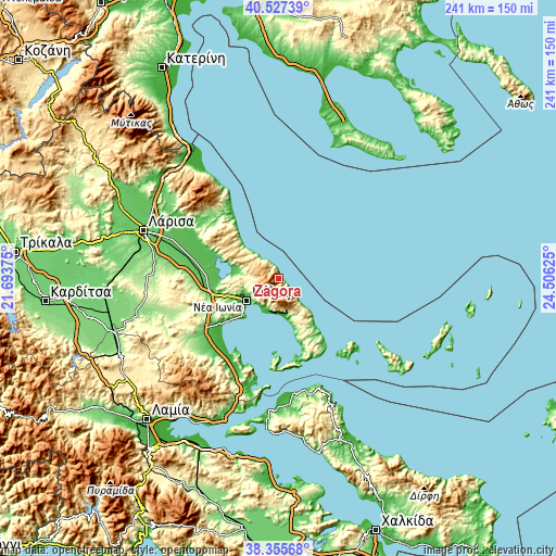
Below is the Elevation map of Zagorá, which displays elevation range with different colors. Scale of the first map is from -3 to 1518 m (-10 to 4980 ft) with average elevation of 602.1 meters (=1975 ft) [note 1]
These maps also provides idea of topography and contour of this city, they are displayed at different zoom levels. More info about maps, scale and edge coordinates you can find below images.

| \ | Map #1 | Topo.Map |
| Scale [m] | -3..1518 m | × |
| Scale [ft] | -10..4980 ft | × |
| Average | 602.1 m = 1975 ft | × |
| Width | 7.55 km = 4.7 mi | 241.5 km = 150.1 mi |
| Height | 7.55 km = 4.7 mi | 241.5 km = 150.1 mi |
| ↑Max Latitude | 39.483925° | 40.52739° |
| Latitude at center | 39.45° | 39.45° |
| ↓Min Latitude | 39.416058° | 38.35568° |
| ← Min Longitude | 23.056055° | 21.69375° |
| Longitude center | 23.1° | 23.1° |
| →Max Longitude | 23.143945° | 24.50625° |
Nearby cities:
Cities around Zagorá sort by population:
• Volos elevation 7 m
16.8 km,  233°
233°
• Néa Ionía 34 m
16.8 km,  241°
241°
• Néa Anchiálos 25 m
30.7 km, 232°
• Agriá 1 m
14.3 km,  211°
211°
• Káto Lekhónia 42 m
14.2 km,  201°
201°
• Rizómylos 66 m
30.4 km,  265°
265°
• Portariá 640 m
10.9 km, 232°
• Argalastí 254 m
26.9 km,  157°
157°
• Áno Lekhónia 68 m
14.2 km, 196°
• Álli Meriá 153 m
13.4 km, 228°
• Kanália 84 m
19.2 km,  286°
286°
• Anakasiá 169 m
13.2 km, 234°
Multilingual:
 En español:
Zagorá elevación 487 m.
 En France:
Zagorá élévation 487 m.


Sources and notes:
- [note 1] Map square and city borders are not equal. Map elevation data is calculated only from area inside that square.
- [src 1] Elevation data from geonames database provided with same terms of usage.
- [src 2] The elevation map of Zagorá is generated using elevation data from NASA's 3 arcsec (90m) resolution SRTM data.
- [src 3] Base (background) map © OpenStreetMap contributors tiles are generated by Geofabrik and OpenTopoMap.
Copyright & License:
This Zagorá Elevation Map is licensed under CC BY-SA. You may reuse any part from this page, if you give a proper credit by linking to this URL:
 More info on terms of use page.