Sint Maarten elevation
On our site we have elevation data and maps for 4 cities from Sint Maarten including Philipsburg as capital of the country.
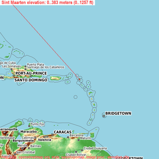
Sint Maarten on topographic map
Sint Maarten elevation extremes
Land surface elevation extremes in Sint Maarten:
- Highest point in Sint Maarten: 200 m SW of Flagstaff Peak (The summit is wholly in Saint Martin.) with 383 meters (=1257 ft)
- Lowest point: Caribbean Sea with 0 meters (=0 ft)
- Elevation span: 383 m (=1257 ft)
Statistics
- Average elevation of cities: 20 m (= 66 ft), and this is 376 m (1234 ft) below average city elevation worldwide..[1]
- Area: 21 km² (= 8 sq mi)
- Population: 37,429
Neighbour countries: Saint Martin 
List of cities in ABC order:
Search by letter:
C K L P
C:
Cul de Sac
K:
Koolbaai
L:
Lower Prince’s Quarter
P:
Philipsburg
1 most populated cities are in red/bold font style.

C:
Cul de Sac
K:
Koolbaai
L:
Lower Prince’s Quarter
P:
Philipsburg
Sources
- Elevation extremes by country from wikipedia.
- Base map data: © OpenStreetMap contributors, | map style: © OpenTopoMap (CC-BY-SA)
- [1] Calculated only from 4 cities in our database
- Other city data from geonames.org with taken over terms of usage.
- Min/max latitude and longitude coordinates per country from latitudelongitude.org website.