Sao Tome and Principe elevation
On our site we have elevation data and maps for 5 cities from Sao Tome and Principe including Sao Tome as capital of the country.
Sao Tome and Principe on topographic map
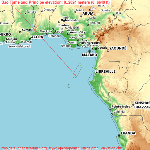
Sao Tome and Principe elevation extremes
Land surface elevation extremes in Sao Tome and Principe:
- Highest point in Sao Tome and Principe: Pico de São Tomé on São Tomé Island with 2024 meters (=6640 ft)
- Lowest point: Gulf of Guinea with 0 meters (=0 ft)
- Elevation span: 2024 m (=6640 ft)
Statistics
- Average elevation of cities: 159 m (= 522 ft), and this is 237 m (778 ft) below average city elevation worldwide..[1]
- Area: 1,001 km² (= 386 sq mi)
- Population: 197,700
Sao Tome and Principe has no neighboring country
List of cities in ABC order:
Search by letter:
G S T
G:
Guadalupe
S:
Santo António São João dos Angolares São Tomé
T:
Trindade
1 most populated cities are in red/bold font style.

G:
Guadalupe
S:
Santo António São João dos Angolares São Tomé
T:
Trindade
Sources
- Elevation extremes by country from wikipedia.
- Base map data: © OpenStreetMap contributors, | map style: © OpenTopoMap (CC-BY-SA)
- [1] Calculated only from 5 cities in our database
- Other city data from geonames.org with taken over terms of usage.
- Min/max latitude and longitude coordinates per country from latitudelongitude.org website.