Faroe Islands elevation
On our site we have elevation data and maps for 24 cities from Faroe Islands including Torshavn as capital of the country.
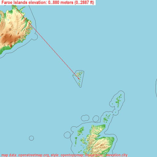
Faroe Islands on topographic map
Faroe Islands elevation extremes
Land surface elevation extremes in Faroe Islands:
- Highest point in Faroe Islands: Slættaratindur on Eysturoy with 880 meters (=2887 ft)
- Lowest point: North Atlantic Ocean with 0 meters (=0 ft)
- Elevation span: 880 m (=2887 ft)
Statistics
- Average elevation of cities: 92 m (= 302 ft), and this is 304 m (997 ft) below average city elevation worldwide..[1]
- Area: 1,399 km² (= 540 sq mi)
- Population: 48,228
Faroe Islands has no neighboring country
List of cities in ABC order:
Search by letter:
A E F H K M P S T V
A:
Argir
E:
Eiði Eystur
F:
Fuglafjørður
H:
Hov Hoyvík Hvalba
K:
Kirkja Klaksvík Kollafjørður Kunoy
M:
Miðvágur
P:
Porkeri
S:
Sandavágur Sandur Skálavík Skopun Skúvoy Sørvágur
T:
Tórshavn Tvøroyri
V:
Vágur Vestmanna Viðareiði
5 most populated cities are in red/bold font style.

A:
Argir
E:
Eiði Eystur
F:
Fuglafjørður
H:
Hov Hoyvík Hvalba
K:
Kirkja Klaksvík Kollafjørður Kunoy
M:
Miðvágur
P:
Porkeri
S:
Sandavágur Sandur Skálavík Skopun Skúvoy Sørvágur
T:
Tórshavn Tvøroyri
V:
Vágur Vestmanna Viðareiði
Sources
- Elevation extremes by country from wikipedia.
- Base map data: © OpenStreetMap contributors, | map style: © OpenTopoMap (CC-BY-SA)
- [1] Calculated only from 24 cities in our database
- Other city data from geonames.org with taken over terms of usage.
- Min/max latitude and longitude coordinates per country from latitudelongitude.org website.