Cape Verde elevation
On our site we have elevation data and maps for 25 cities from Cape Verde including Praia as capital of the country.
Cape Verde on topographic map
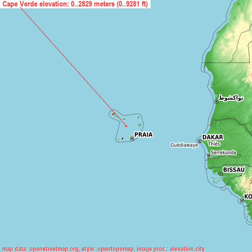
Cape Verde elevation extremes
Land surface elevation extremes in Cape Verde:
- Highest point in Cape Verde: Pico do Fogo with 2829 meters (=9281 ft)
- Lowest point: North Atlantic Ocean with 0 meters (=0 ft)
- Elevation span: 2829 m (=9281 ft)
Statistics
- Average elevation of cities: 118 m (= 387 ft), and this is 278 m (912 ft) below average city elevation worldwide..[1]
- Area: 4,033 km² (= 1,557 sq mi)
- Population: 508,659
Cape Verde has no neighboring country
List of cities in ABC order:
Search by letter:
A C E I J M N P R S T V
A:
Assomada
C:
Calheta Cidade Velha Cova Figueira
E:
Espargos
I:
Igreja
J:
João Teves
M:
Mindelo
N:
Nova Sintra
P:
Pedra Badejo Picos Pombas Ponta do Sol Porto Novo Praia
R:
Ribeira Brava Ribeira Grande
S:
Sal Rei Santa Cruz Santa Maria São Domingos São Filipe
T:
Tarrafal Tarrafal de São Nicolau
V:
Vila do Maio
5 most populated cities are in red/bold font style.

A:
Assomada
C:
Calheta Cidade Velha Cova Figueira
E:
Espargos
I:
Igreja
J:
João Teves
M:
Mindelo
N:
Nova Sintra
P:
Pedra Badejo Picos Pombas Ponta do Sol Porto Novo Praia
R:
Ribeira Brava Ribeira Grande
S:
Sal Rei Santa Cruz Santa Maria São Domingos São Filipe
T:
Tarrafal Tarrafal de São Nicolau
V:
Vila do Maio
Sources
- Elevation extremes by country from wikipedia.
- Base map data: © OpenStreetMap contributors, | map style: © OpenTopoMap (CC-BY-SA)
- [1] Calculated only from 25 cities in our database
- Other city data from geonames.org with taken over terms of usage.
- Min/max latitude and longitude coordinates per country from latitudelongitude.org website.