U.S. Virgin Islands elevation
On our site we have elevation data and maps for 3 cities from U.S. Virgin Islands including Charlotte Amalie as capital of the country.
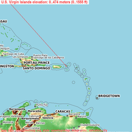
U.S. Virgin Islands on topographic map
U.S. Virgin Islands elevation extremes
Land surface elevation extremes in U.S. Virgin Islands:
- Highest point in U.S. Virgin Islands: Crown Mountain on Saint Thomas with 474 meters (=1555 ft)
- Lowest point: Caribbean Sea with 0 meters (=0 ft)
- Elevation span: 474 m (=1555 ft)
Statistics
- Average elevation of cities: 22 m (= 72 ft), and this is 374 m (1227 ft) below average city elevation worldwide..[1]
- Area: 352 km² (= 136 sq mi)
- Population: 108,708
U.S. Virgin Islands has no neighboring country
List of cities in ABC order:
Search by letter:

Sources
- Elevation extremes by country from wikipedia.
- Base map data: © OpenStreetMap contributors, | map style: © OpenTopoMap (CC-BY-SA)
- [1] Calculated only from 3 cities in our database
- Other city data from geonames.org with taken over terms of usage.
- Min/max latitude and longitude coordinates per country from latitudelongitude.org website.