Marshall Islands elevation
On our site we have elevation data and maps for 25 cities from Marshall Islands including Majuro as capital of the country.
Marshall Islands on topographic map
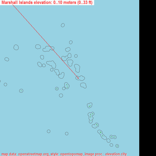
Marshall Islands elevation extremes
Land surface elevation extremes in Marshall Islands:
- Highest point in Marshall Islands: Unnamed location on Likiep with 10 meters (=33 ft)
- Lowest point: North Pacific Ocean with 0 meters (=0 ft)
- Elevation span: 10 m (=33 ft)
Statistics
- Average elevation of cities: 10 m (= 33 ft), and this is 386 m (1266 ft) below average city elevation worldwide..[1]
- Area: 181 km² (= 70 sq mi)
- Population: 65,859
Marshall Islands has no neighboring country
List of cities in ABC order:
Search by letter:
A E J K L M N R T U W
A:
Ailuk Airuk Arno Aur
E:
Ebaye Ebon Enewetak
J:
Jabat Jabor
K:
Kili
L:
Lae Lib Likiep Loen
M:
Majuro Mejit Mili
N:
Namdrik
R:
RMI Capitol Rongelap
T:
Taroa
U:
Ujae Utrik
W:
Wotho Wotje
5 most populated cities are in red/bold font style.

A:
Ailuk Airuk Arno Aur
E:
Ebaye Ebon Enewetak
J:
Jabat Jabor
K:
Kili
L:
Lae Lib Likiep Loen
M:
Majuro Mejit Mili
N:
Namdrik
R:
RMI Capitol Rongelap
T:
Taroa
U:
Ujae Utrik
W:
Wotho Wotje
Sources
- Elevation extremes by country from wikipedia.
- Base map data: © OpenStreetMap contributors, | map style: © OpenTopoMap (CC-BY-SA)
- [1] Calculated only from 25 cities in our database
- Other city data from geonames.org with taken over terms of usage.
- Min/max latitude and longitude coordinates per country from latitudelongitude.org website.