Lesotho elevation
On our site we have elevation data and maps for 12 cities from Lesotho including Maseru as capital of the country.
Lesotho on topographic map
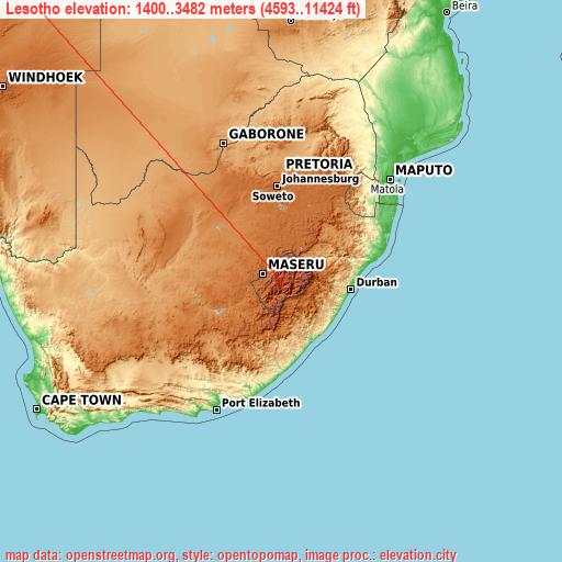
Lesotho elevation extremes
Land surface elevation extremes in Lesotho:
- Highest point in Lesotho: Thabana Ntlenyana with 3482 meters (=11424 ft)
- Lowest point: Confluence of Orange River and Makhaleng River with 1400 meters (=4593 ft)
- Elevation span: 2082 m (=6831 ft)
Statistics
- Main average elevation: 2161 meters (= 7090 ft)
- Average elevation of cities: 1766 m (= 5794 ft), and this is 1370 m (4495 ft) above average city elevation worldwide..[1]
- Area: 30,355 km² (= 11,720 sq mi)
- Population: 1,919,552
Neighbour countries: South Africa 
List of cities in ABC order:
Search by letter:
B L M N Q T
B:
Butha-Buthe
L:
Leribe
M:
Mafeteng Maputsoe Maseru Mohale’s Hoek Mokhotlong
N:
Nako
Q:
Qacha’s Nek Quthing
T:
Teyateyaneng Thaba-Tseka
2 most populated cities are in red/bold font style.

B:
Butha-Buthe
L:
Leribe
M:
Mafeteng Maputsoe Maseru Mohale’s Hoek Mokhotlong
N:
Nako
Q:
Qacha’s Nek Quthing
T:
Teyateyaneng Thaba-Tseka
Sources
- Elevation extremes by country from wikipedia.
- Base map data: © OpenStreetMap contributors, | map style: © OpenTopoMap (CC-BY-SA)
- [1] Calculated only from 12 cities in our database
- Other city data from geonames.org with taken over terms of usage.
- Min/max latitude and longitude coordinates per country from latitudelongitude.org website.